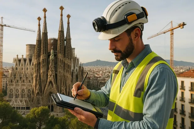
Geotechnical study in Abrera
Do you need a Geotechnical study?
Find the best price and service in Abrera. Get a free quote.
More than 1000 geotechnical studies carried out
Approximate price 750€
We can contact you via WhatsApp, phone, or email, whichever you prefer.
Comprehensive Geotechnical Studies
We combine field analysis and laboratory testing to provide accurate technical reports and foundation solutions.


Expert professional
Technicians with more than 15 years of experience in the industry. We are specialists in access to difficult locations such as sites with level changes, basements, etc.
Accredited
Geotechnical calculations comply with the rules established by Eurocode 7, UNE-EN ISO 22476-4:2016.

Best price
Very competitive prices. The best prices for geotechnical studies in Spain. Request a quote and check it.
Speed and quality
Within 7 to 10 days you will receive a signed report from a geologist. It is mandatory in order to carry out new construction or refurbishment works that involve modifications to the structure.

Work areas
We provide Geotechnical study services in all locations of Abrera.
This includes the following geographical areas: Province of Barcelona, Girona Province, Province of Lleida, Province of Tarragona, Cataluña and surrounding areas.
We travel to your home in Abrera whenever it suits you, agreeing a day and time.

Types of ground in Abrera
In Abrera, sandstone, conglomerate and flysch substrates predominate; they account for most of the subsoil and generally offer a favourable bearing capacity for shallow foundations. Fine sands and silts are also present to a significant extent, and may require attention with regard to compaction and drainage. The occasional presence of overconsolidated clays and marls provides adequate strength, while the compact gravels and sands present in a smaller proportion may contribute positively to geotechnical performance, although their continuity at the specific site must be verified.
Seismicity in Abrera is very low, with only around five events over thirty years and a low maximum magnitude, which minimises this factor in structural design. No karstification phenomena are reported and although subordinate expansive clays are identified, their limited location and the climatic conditions notably reduce the risk of expansivity. The main aspect to control is lithological heterogeneity, and precise characterisation is always recommended in order to optimise the choice of foundation system.
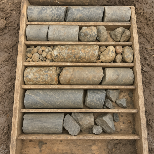
Sandstones, Conglomerates and Flysch
Sedimentary rocks formed by the cementation of fragments of other pre-existing rocks. They include sandstones (cemented sand), conglomerates (cemented gravels) and the rhythmic alternation of sandston
View details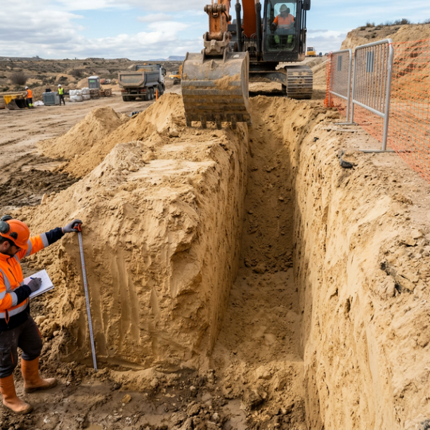
Fine sands and silts
Fine to very fine granular soils with medium to loose compacity. Typical of floodplains and coastlines. Although they can support light buildings, they are treacherous soils linked to water processes:
View details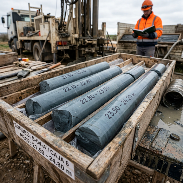
Overconsolidated clays and marls (Duras)
Cohesive soils with a hard feel, sometimes with a rock-like appearance when dry (grey marls, pre-Pyrenean facies, deep Guadalquivir basin). They have a long history of geological compression in the pa
View details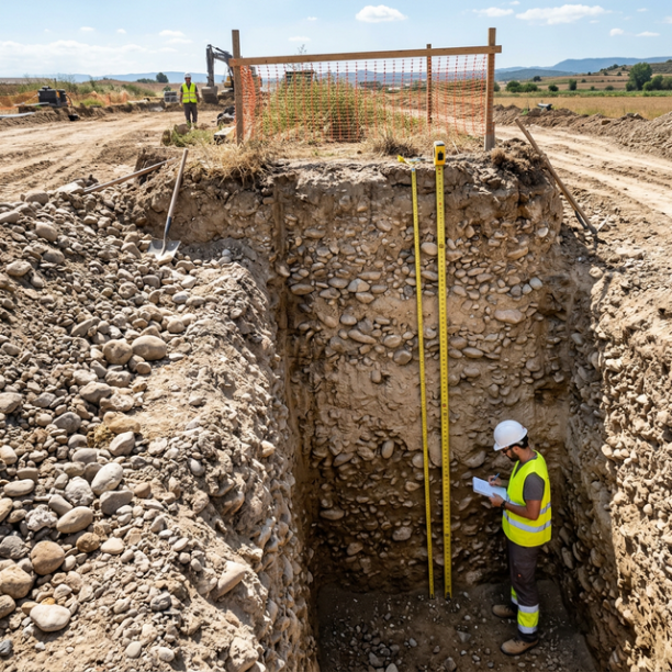
Compact gravels and sands
High-compacity granular deposits, typically associated with old fluvial terraces (Ebro, Duero, Tajo, Guadalquivir rivers) and Pleistocene glacis. They have no cohesion (they are not clays) but their a
View detailsConstruction risks in Abrera
Approximate estimates. They do not replace the geotechnical study.
| Soil type | Expansivity | Settlements | Water table | Seismicity | Minimum foundation |
|---|---|---|---|---|---|
| Sandstones, Conglomerates and Flysch | None | Media | Media | Media | Direct foundation is feasible in most cases. For flysch ... |
| Fine sands and silts | None | High | High | High | To avoid local punching, the foundation slab is used ext... |
| Overconsolidated clays and marls (Duras) | Media | Media | Downward | Downward | Direct foundation is viable. Piling is rarely resorted t... |
| Compact gravels and sands | None | Downward | High | Downward | Conventional shallow foundation without problems. Raft f... |
Interactive geological map · Abrera
Mapping: IGME GEODE 50k · IGME MAGNA 50 · ICGC (Catalonia)
Geological Viewer
IGME · ICGC- Click on the map to see the geology at the point.
- Use the layer buttons to switch between geological views (GEODE, MAGNA, Lithology, Hydrogeology).
- Adjust the opacity of the geological layer with the control below.
- Press the full-screen button to expand the viewer.
Geological information
Typical stratigraphic profile
Indicative subsurface cross-section in Abrera · Based on GEODE soil types
Indicative profile based on GEODE soil types and typical CTE thicknesses
Seismic risk in Abrera
Seismic risk is assessed at municipal level. These are aggregated data for the area.
- 1 M 1.6 2008
- 2 M 1.6 2023
- 3 M 1.6 2006
How do we carry out your geotechnical study?
Step
Free quote
Request a quotation for your geotechnical study. Completely free and with no obligation.
Step
We arrange a day
We are looking for a day and time to carry out the field study.
Step
Conducting the geotechnical study
We’re going to move and carry out the study. In an hour or two we’ll have finished.
Step
Report submission
Within a week we will send you the signed documents of the geotechnical study by an accredited geologist.
Also available in
Spain’s most populated cities
Useful information about Geotechnical study
In-depth articles


Entities and institutions