Vilafamés, the town the Neanderthals chose 80,000 years ago (and the rock that explains why)
Beneath the cobbled streets of one of Spain’s most beautiful towns there are limestones from a tropical sea, sandy deposits from prehistoric rivers and karst cavities that 80.000 years ago served as a refuge for Neanderthals. The same rock that drew them in still today forms the basis of the castle, the floors of the houses and the greatest geological risk in the subsoil.

Vilafames vista general
Have you ever wondered why Vilafamés is exactly where it is? Why does the village climb up that rocky hill instead of spreading out across the plain that lies at its feet? Why does the castle rise on that summit and not on any other hill in the surrounding area?
The answer is 80,000 years old. And before the Muslims who built the first fortress had it, before Jaume I had it when he conquered the town in 1233, the Neanderthals already had it. They got there first. And they chose exactly the same spot for exactly the same reason: the rock.
The sea that built the hill (and the refuge of the Neanderthals)
More than half of the subsoil of Vilafamés —56.22%, according to IGME data— is limestone, dolomite and marble. Carbonated outcrops, formed at the bottom of a tropical sea that covered this part of the Iberian Peninsula during the Mesozoic, between 65 and 250 million years ago. When that sea withdrew and the Alpine tectonic movements began to fold and uplift the crust, those limestones emerged and formed the mountain ranges and hills that today characterise the inland landscape of Castelló.
Limestone has a fundamental property: it is hard, resistant to erosion, and it forms prominent landforms. But it is also soluble. Rainwater, slightly acidic, dissolves it slowly over millions of years, opening cracks, galleries and cavities. The result is karst: a system of underground caves and tunnels that turns solid rock into a geological-scale Swiss cheese.
And those caves were, for tens of thousands of years, the best natural shelters available in this territory.
The Cova de Dalt del Tossal de la Font, within the municipality of Vilafamés, has 2,282 metres of excavated passage in limestone. Inside, three human fossils attributed to the Neanderthal group were found, in excavations carried out between 1982 and 2012 by the Universitat Jaume I and the Institut Català de Paleoecologia Humana, with an approximate age of 80,000 years. It is the only site of this type located in the Valencian Community. Declared an Asset of Cultural Interest in 2021, it is one of the most significant prehistoric records across the whole peninsular Mediterranean arc.
The Neanderthals who lived here 80,000 years ago did not choose this hill by chance. They chose it because the limestone gave them what they needed: shelter beneath the rock, water in the cracks and in the springs that rise at the foot of the massif, and an elevated position from which to watch over the surrounding area. The same logic that, centuries later, would lead the Muslims to build their fortress on the very same summit. And for Jaume I to conquer it.
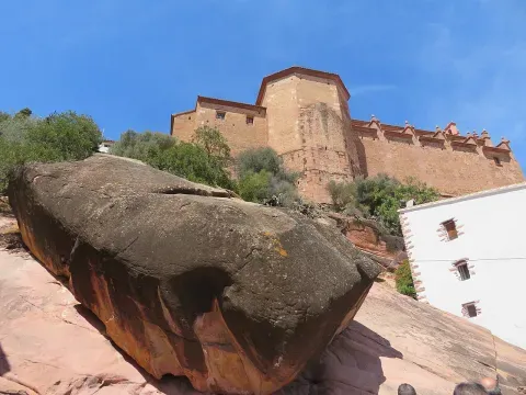
La roca de Vilafamés
The Roca Grossa: when geology becomes a monument
There is an element in the urban landscape of Vilafamés that sums up the relationship between the geology and the history of the place better than any other: the Roca Grossa, the large outcrop of reddish sandstone that emerges in the middle of the old town, between the Plaça de la Font and the castle, as if the ground had decided to push upwards a sample of what lies beneath.
Reddish sandstone —the so-called rodeno— is the second most abundant material in the subsoil of Vilafamés: 12.77% of the total, in the form of sandstones, conglomerates and flysch. It is older than the limestones in terms of outcrop, more visible at the surface in some parts of the municipality, and of a characteristic ochre-reddish colour that gives this whole area of the Castelló interior a distinctive visual identity.
Sandstones form in coastal or fluvial environments: beaches, deltas, and rivers of moderate flow where sand is deposited and compacted. Those that appear in Vilafamés correspond to the Cretaceous and the Triassic, periods when this territory was a transition zone between marine and continental environments. Next to the Roca Grossa, at the Abric del Castell —a projecting ledge of reddish sandstone at the foot of the castle—, there survive schematic rock paintings from the Bronze Age, declared World Heritage by UNESCO in 1998. The same rock that served as a canvas for those prehistoric artists is also the one that today flanks the cobbled path that climbs up to the castle.
The castle and limestone: an alliance of 80,000 years
The Castell de Vilafamés, declared an Asset of Cultural Interest, has an Arab origin —medieval documents mention it to it as Beni-Hamez— and it was conquered by Jaume I in 1233. But the choice of site is much older than any human decision: the castle sits directly on top of the most prominent limestone outcrop in the municipality, on the summit that dominates the plain of the Plana Alta.
Limestone provides a fortress with exactly what it needs: a firm base, natural vertical walls that do not require excavation, and a position of visual dominance over the surrounding territory. The limestone escarpment is, in itself, the first line of defence.
That same fortress resisted in the 19th century the attacks of the Carlist troops of the general Ramón Cabrera, known as the Tigre del Maestrat. In March 1837, the Carlist leader known as El Serrador attempted the first siege, which failed after three days. In April of the same year, Cabrera himself set up a camp in front of the town and attempted the decisive blow: on the 16th, a breach was opened in the walls, but the attackers were repelled and Cabrera had to withdraw towards Alcora. Vilafamés held out on its rock. The circular tower that today crowns the castle —one of the few examples of Carlist architecture in the Valencian Community— was built precisely during that period to adapt the defences to the new warfare techniques of the 19th century.
The limestone that created the hill, which attracted the Neanderthals 80,000 years ago, that allowed the Arab fortress to be built and then the medieval one, is also what made Vilafamés impregnable to Cabrera.
Ground types in Vilafamés
Characteristic soils in the area, ordered by relevance.
-
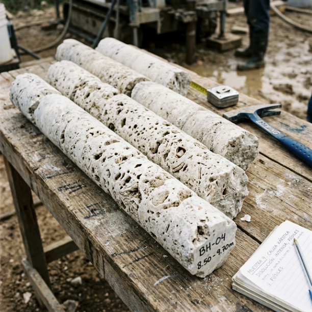
Limestones, Dolomites and Marbles
karstic structures (caves, sinkholes, dolines) that pose the main geotechnical risk.
View details -
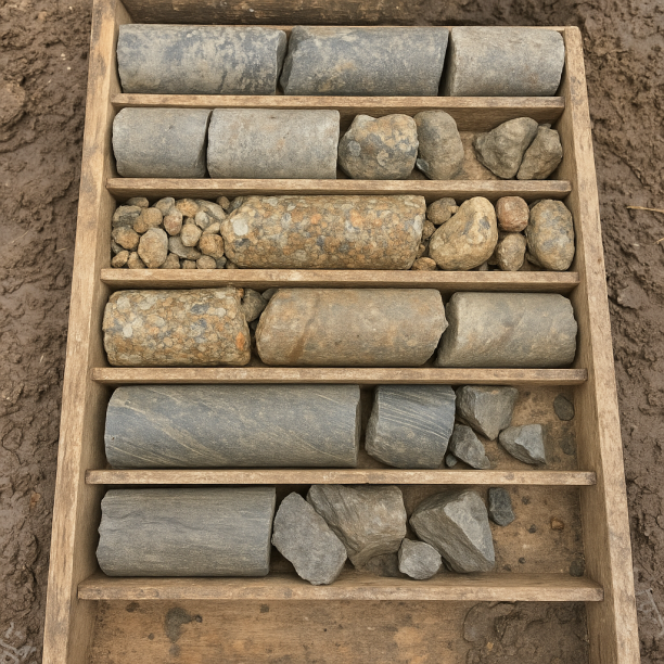
Sandstones, Conglomerates and Flysch
Sedimentary rocks formed by the cementation of fragments of other pre-existing rocks. They include sandstones (cemented sand), conglomerates (cemented gravels) and the rhythmic alternation of sandston
View details -
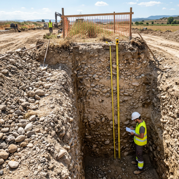
Compact gravels and sands
High-compacity granular deposits, typically associated with old fluvial terraces (Ebro, Duero, Tajo, Guadalquivir rivers) and Pleistocene glacis. They have no cohesion (they are not clays) but their a
View details -
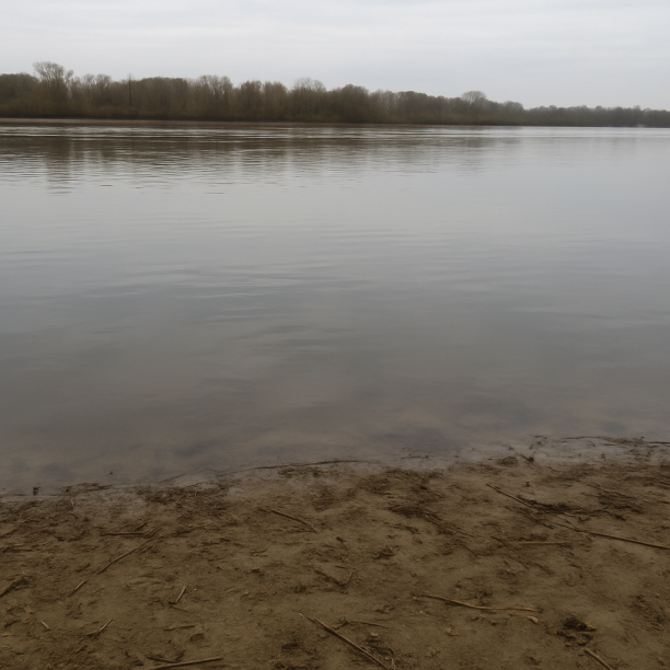
Water mass
Area corresponding to rivers, lakes, reservoirs, lagoons, permanent marshes or submerged coastal strips. The point consulted lies on a body of water identified cartographically by the IGME in its geol
View details -
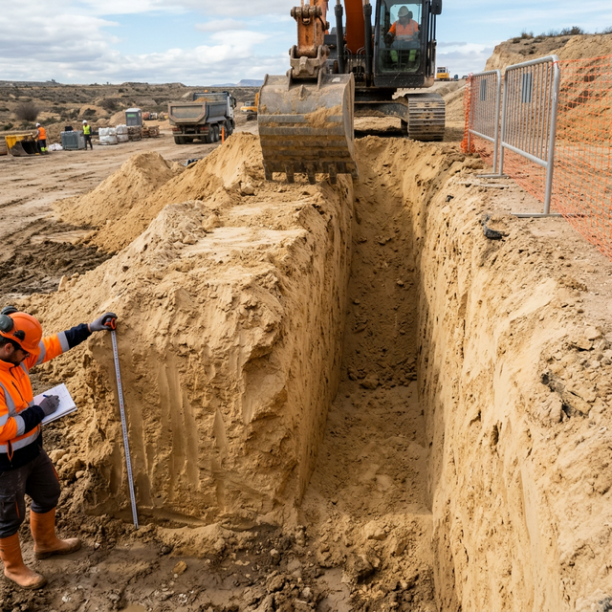
Fine sands and silts
Fine to very fine granular soils with medium to loose compacity. Typical of floodplains and coastlines. Although they can support light buildings, they are treacherous soils linked to water processes:
View details -
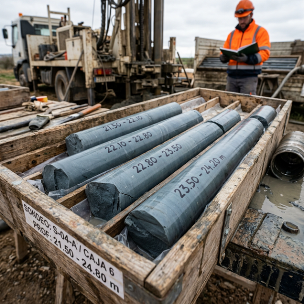
Overconsolidated clays and marls (Duras)
Cohesive soils with a hard feel, sometimes with a rock-like appearance when dry (grey marls, pre-Pyrenean facies, deep Guadalquivir basin). They have a long history of geological compression in the pa
View details
Karst: beauty hiding a risk
There is a downside to this story of resistant rocks and impregnable fortresses. The very limestone that, for millennia, was synonymous with strength and refuge hides, beneath the surface, a specific geological hazard that the Vilafamés subsoil studies identify as the main factor conditioning construction: karst.
The water that dissolves limestone over millions of years does not do so uniformly. It does so through the cracks, opening irregular cavities, galleries, dolines —circular depressions at the surface— and, in extreme cases, underground chambers that can be only a few metres deep without any visible sign from above. The Cova de Dalt del Tossal de la Font, with its 2,282 metres of galleries, is the most spectacular example of what karst can do in the limestone of Vilafamés. But it is only the best known.
Before cementing any building in Vilafamés, geologists must verify that there are no hidden cavities beneath the chosen ground. What looks like solid rock can hide, only a few metres below, a void.
Moderate seismicity with recent history
The subsoil of Vilafamés records moderate seismic activity: 30 events in the last 30 years, with a maximum magnitude of 3.3 —recorded in 2001— and a last earthquake of M 1.6 in 2026. The average magnitude of the events is M 1.75, below the human perception threshold under normal conditions.
The earthquake with the highest magnitude recorded, M 2.5 in 2011, and the most recent significant one, M 2.3 in 2024, are consistent with the municipality’s position at the edge of the Sistema Ibèric, where the residual tectonic activity of the Alpine Orogeny occasionally produces small tremors. Nothing that compromises the safety of conventional buildings, but enough to remember that the same forces that raised the limestone hill on which the town stands remain active, on a geological scale.
What the subsoil of Vilafamés holds, layer by layer
|
Depth |
What there is |
What it was |
|---|---|---|
|
0 – 5 m |
Fine sands and silt |
Recent slope deposits and valley infill. Quaternary |
|
5 – 11 m |
Gravels and compacted sands |
Alluvium from gullies and torrents. Early Quaternary |
|
11 – 21 m |
Overconsolidated clays and marls |
Shallow sea and transition environments. Mesozoic |
|
21 – 36 m |
Sandstones, conglomerates and flysch |
Beaches and deltas of the Cretaceous and Triassic. The Roca Grossa |
|
36 – 56 m+ |
Limestones, dolomites and marbles |
Tropical sea floor. The hill, the castle, the Neanderthal caves |
Five layers. Eighty thousand years of human history on the same point. And down below, the limestone that explains it all: the cave that sheltered the Neanderthals, the hill that the Arabs chose, the fortress that withstood Cabrera, the town that today features among the most beautiful in Spain.
Vilafamés is not where it is by coincidence. It is where it is because the rock rules.
Sources: Geological data of the subsoil (soil type, percentages, stratigraphic profile): studyogeotecnico.pro/es/estudio-geotecnico-en-vilafames, based on IGME GEODE 50k and MAGNA 50 mapping. Seismic data: Seismic Portal EMSC/IGN. History of Vilafamés: Wikipedia, article «Villafamés» (es.wikipedia.org/wiki/Villafam%C3%A9s); Ajuntament de Vilafamés (vilafames.org/es/historia-del-poble). Castell de Vilafamés: Wikipedia, article «Castillo de Villafamés» (es.wikipedia.org/wiki/Castillo_de_Villafam%C3%A9s). Cova de Dalt del Tossal de la Font: Turisme de Castelló (turismodecastellon.com); scientific publication: Gusi et al., «La Cova de Dalt del Tossal de la Font (Vilafamés, Castellón): conclusiones preliminares», ResearchGate. Rock paintings from the Abric del Castell: 360gradospress.com, citing the UNESCO 1998 declaration.
Do you need a geotechnical study in Vilafamés?
Request a no-obligation quote. We’ll advise you on the type of study you need.
- Studies signed by a licensed geologist
- Compliant with the CTE and Eurocode 7
- Coverage throughout Spain


Más de 1000 estudios realizados
Request a free quote
We can contact you via WhatsApp, phone, or email, whichever you prefer.


