Gandía, the city the sea built without anyone noticing: six layers of history beneath your feet
Under the most visited beach in the Valencian Community there are sands that have been there for thousands of years, clays from a prehistoric marshland, gravels from rivers that no longer exist and, very deep down, the same limestone that served as a refuge for Europe’s first artists. All of that is there. And it explains a great many more things than it seems.

Gandia
Have you ever wondered why the Cueva del Parpalló —one of the most important Palaeolithic sites in all of Europe— is precisely within the municipal term of Gandía and not somewhere else along the Mediterranean coast? Or why, on 3 November 1987, more than 800 litres per square metre fell in this city in a single day, setting a national rainfall record that has still not been surpassed? The answer, in both cases, is not to be found in the calendar or in chance. It lies in the geology.
The subsoil of Gandía is an archive of six layers, each with its own story. And together they form one of the most complete and most narrative geological sequences of the entire Valencian coast.
Six materials. Six worlds. Six reasons why this city is exactly what it is.
The limestone that hosted Europe’s first artists (and that still remains there, at 44 metres depth)
Let’s start at the beginning. With what is oldest. From 44 metres depth beneath Gandía, the ground is made up of limestones, dolomites and marbles: 32,22% of the total of the municipal subsoil, according to IGME data.
Limestones do not form on land. They form in the sea: they are the compacted residue of millions of years of marine sedimentation, from shells, coral skeletons, and organic matter accumulated on shallow continental shelves. During the Mesozoic —between 65 and 250 million years ago— the territory that today corresponds to the comarca of La Safor was the seabed of a tropical sea. No beaches. No orange groves. Only water, marine organisms and time.
But here is the link that very few people make: that same limestone, when it crops out at the surface in the Mondúver massif, is porous, soluble, and easily excavated by water. It forms caves. And one of those caves, the Cueva del Parpalló, is listed as a Site of Cultural Interest and recognised by UNESCO as part of the World Heritage of rock art. Inside, more than 5.000 engraved and painted limestone plaques were found —the most important collection of portable Palaeolithic art in the world— deposited by Upper Palaeolithic human groups who lived here between 25.000 and 10.000 years ago.
The cave exists because there is limestone. The art exists because limestone creates cavities. And the limestone is there because, hundreds of millions of years ago, all this territory was the seabed of a sea.
The sands and silts: the delta that became a beach and a marshland
Now move up towards the surface. Between 0 and 5 metres depth, the ground of Gandía is, in 20,60%, fine sand and silts. It is the youngest material of all, the most recent, the one that tells what happened here over the last few thousand years.
Fine sands and silts are deposited in two ways: on beaches, where wave action transports and sorts them, or in areas of very calm water —deltas, lagoons, marshlands— where the lighter particles settle at the bottom. In Gandía, both processes occurred at the same time and in the same space.
The Serpis river, which flows into Gandía, was building an alluvial plain over millennia, upon which the city stands today. When it arrived laden with sediments after rainfall, it deposited them at its mouth, gaining ground on the sea and creating soft, waterlogged soils. From that process emerged the Marjal de Gandía: a coastal wetland of shallow waters that existed for centuries before urban expansion drastically reduced it.
The place name «Gandía» has, among its most widespread theories of origin, a pre-Roman root, Ganda, which would mean precisely «marshy area» or «marshland». If that etymology is correct —and several scholars support it—, the city’s name carries its geology written into it from the start.
Today those sands and silts are the basis of the most visited beach in the Comunitat Valenciana. But they are also the most delicate material from a geotechnical point of view: high susceptibility to settlement, a high groundwater table, and —in the event of intense seismic activity— risk of liquefaction, the phenomenon whereby water-saturated sands lose their load-bearing capacity and behave like a liquid.
Ground types in Gandia
Characteristic soils in the area, ordered by relevance.
-
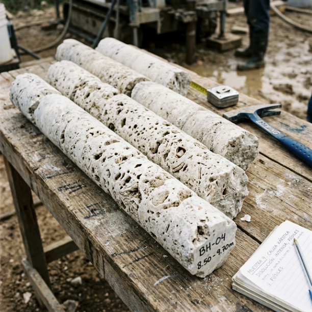
Limestones, Dolomites and Marbles
karstic structures (caves, sinkholes, dolines) that pose the main geotechnical risk.
View details -
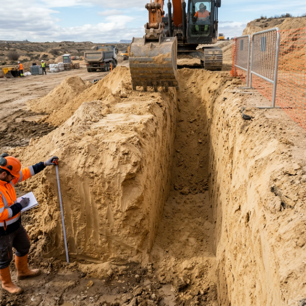
Fine sands and silts
Fine to very fine granular soils with medium to loose compacity. Typical of floodplains and coastlines. Although they can support light buildings, they are treacherous soils linked to water processes:
View details -
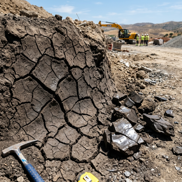
White/Soft Expansive Clays
The great queens of pathology in civil building in Spain. They are frequently found in the lands of barros of Córdoba and Badajoz, the vegas of the Guadalquivir (Mairena, Carmona), the Miocene basin o
View details -
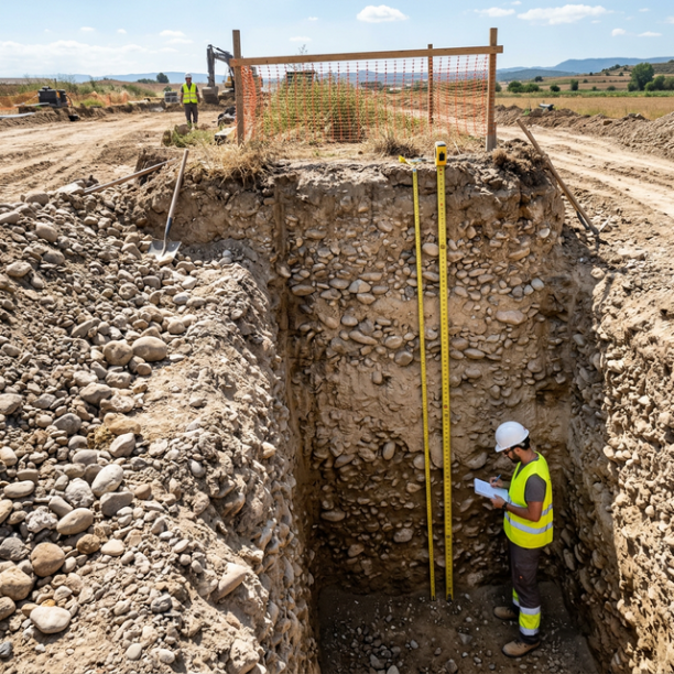
Compact gravels and sands
High-compacity granular deposits, typically associated with old fluvial terraces (Ebro, Duero, Tajo, Guadalquivir rivers) and Pleistocene glacis. They have no cohesion (they are not clays) but their a
View details -
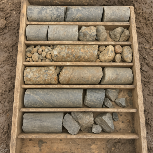
Sandstones, Conglomerates and Flysch
Sedimentary rocks formed by the cementation of fragments of other pre-existing rocks. They include sandstones (cemented sand), conglomerates (cemented gravels) and the rhythmic alternation of sandston
View details -
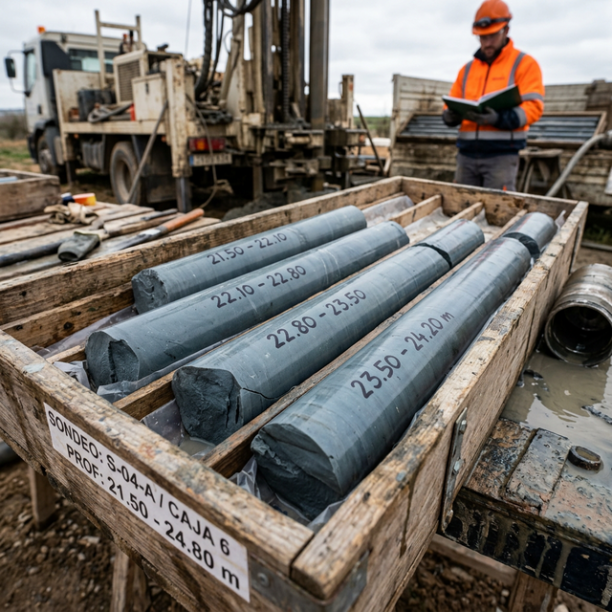
Overconsolidated clays and marls (Duras)
Cohesive soils with a hard feel, sometimes with a rock-like appearance when dry (grey marls, pre-Pyrenean facies, deep Guadalquivir basin). They have a long history of geological compression in the pa
View details -
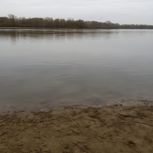
Water mass
Area corresponding to rivers, lakes, reservoirs, lagoons, permanent marshes or submerged coastal strips. The point consulted lies on a body of water identified cartographically by the IGME in its geol
View details
Expansive clays: the marshland that will not give up
Between 11 and 19 metres depth appears the third most abundant material in the subsoil of Gandía: white, soft expansive clays, 11,23% of the total.
Clays form in environments of calm water: lakes, lagoons, flood zones, where the finest particles —too small to settle in a river with current— end up settling very slowly at the bottom. In the case of Gandía, these clays narrate the cycles of the coastal marshland: periods when sea level rose and the wetland area extended inland, and periods when it fell and the marshland retreated.
They are the most problematic stratum for construction. Expansive clays swell when they absorb water and shrink when they dry out, generating movements in foundations that, over time, can cause serious structural damage. That is why geotechnical studies in Gandía pay special attention to this layer: what seems like firm ground may hide, at eleven metres depth, a material that moves.
Gravel and compact sands: the memory of the biggest rivers
Between 5 and 11 metres, below the near-surface sands and above the clays, there are gravels and compact sands: 9,36% of the subsoil of Gandía.
Gravels are small stones, rolled by water, that are deposited when a river loses speed as it enters a plain. Their presence indicates rivers with greater discharge than today, more frequent floods, and a fluvial dynamics more energetic than the one we know today. They are the trace of a Serpis river which, in the recent geological past, had a flow rate far higher than the present one, regularly flooding the coastal plain and leaving layers of gravel and compact sand in its wake.
Paradoxically, they are the most straightforward material from a structural point of view: good load-bearing capacity, low expansivity, and reduced settlement. The foundations of Gandía that rest on this layer of compact gravels are, in a sense, on top of the bed of a prehistoric river that built the city.
The ground that remembers: 3 November 1987
There is a piece of information in the Wikipedia article about Gandía that deserves to be read twice: «The 720 mm in less than 24 hours that fell during the DANA of 1987 and swept away the city, especially the Beniopa district.»
Other sources raise that figure to more than 800 mm in parts of the municipality, which constituted a national rainfall record. On 3 November 1987, the Barranc de Beniopa —which collects waters from the Mondúver massif and carries them towards the port— burst its banks with such violence that it flooded streets, houses and entire districts. There were substantial material damages and fatalities.
What does geology have to do with that? Everything. The alluvial plain on which Gandía is built —those fine sands, those silts, those marshland clays— is, as a whole, a soil with very low permeability: when it rains with that intensity, the water does not infiltrate, it has nowhere to go. It remains on the surface. It flows towards the lowest points. And the districts built on the marshland areas —the most depressed, the oldest in terms of lacustrine sedimentation— are the first to be flooded.
The subsoil of Gandía did not cause the DANA. But it did determine where it hit hardest.
What the subsoil of Gandía keeps, layer by layer
|
Depth |
What is there |
What it was |
|
0 – 5 m |
Fine sands and silts |
Delta of the Serpis river and coastal marshland. The last few thousand years |
|
5 – 11 m |
Gravels and compact sands |
Rivers with higher discharge than today. Recent Quaternary |
|
11 – 19 m |
White/soft expansive clays |
Marshland and coastal lagoon cycles. Pleistocene and Holocene |
|
19 – 29 m |
Overconsolidated clays and marls |
Shallow sea and transitional environments. Tertiary |
|
29 – 44 m |
Sandstones, conglomerates and flysch |
Rivers and continental shelves. Late Mesozoic |
|
44 m+ |
Limestones, dolomites and marbles |
Tropical sea seabed. The same that formed the Mondúver caves |
Six layers. Six overlapping worlds. And above them all, a city that carries the name of the marshland it once was, built on the sand left by the river, supported on the gravels carried by the water, protected —and sometimes threatened— by the very same geology that, 25.000 years ago, gave shelter to Europe’s first artists.
Sources: Geological data of the subsoil (soil types, percentages, stratigraphic profile): estudiogeotecnico.pro/es/estudio-geotecnico-en-gandia, based on IGME GEODE 50k and MAGNA 50 mapping. Seismic data: Seismic Portal EMSC/IGN. History of Gandía: Wikipedia, «Gandía» article (es.wikipedia.org/wiki/Gandía). Cueva del Parpalló: Wikipedia, «Cueva del Parpalló» article (es.wikipedia.org/wiki/Cueva_del_Parpalló). DANA of 1987 and Barranc de Beniopa: Fundación Biodiversidad / Smart City Gandia (municipal technical documents); Wikipedia, «Beniopa» article. Etymology of the place name «Gandía»: mi-gandia24.es, citing various origin theories. Marjal de Gandía and alluvial plain: study by the Universitat Politècnica de València (riunet.upv.es).
Do you need a geotechnical study in Gandia?
Request a no-obligation quote. We’ll advise you on the type of study you need.
- Studies signed by a licensed geologist
- Compliant with the CTE and Eurocode 7
- Coverage throughout Spain


Más de 1000 estudios realizados
Request a free quote
We can contact you via WhatsApp, phone, or email, whichever you prefer.


