
Geotechnical study in Montilla
Do you need a Geotechnical study?
Find the best price and service in Montilla. Get a free quote.
More than 1000 geotechnical studies carried out
Get personalized attention
We can contact you via WhatsApp, phone, or email, whichever you prefer.
Comprehensive Geotechnical Studies
We combine field analysis and laboratory testing to provide accurate technical reports and foundation solutions.


Expert professional
Technicians with more than 15 years of experience in the industry. We are specialists in access to difficult locations such as sites with level changes, basements, etc.
Accredited
Geotechnical calculations comply with the rules established by Eurocode 7, UNE-EN ISO 22476-4:2016.

Best price
Very competitive prices. The best prices for geotechnical studies in Spain. Request a quote and check it.
Speed and quality
Within 7 to 10 days you will receive a signed report from a geologist. It is mandatory in order to carry out new construction or refurbishment works that involve modifications to the structure.

Work areas
We provide Geotechnical study in all locations of Montilla.
This includes the following geographical areas: Province of Almería, Province of Cádiz, Province of Córdoba, Province of Granada, Province of Huelva, Province of Jaén, Province of Málaga, Province of Seville, Andalucía and the surrounding area.
We come to your home in Montilla when it suits you, agreeing a day and time.

Types of ground in Montilla
In Montilla, the ground is dominated by formations of limestones, dolomites and marbles, followed by fine sands and silts. These materials exhibit good overall bearing capacity, enabling conventional shallow foundations where the rocks crop out. However, the residual presence of silty or sandy levels may require a check of compaction or strength, while the occasional presence of groundwater means giving attention to the possible variability of moisture in the soft soils.
The municipality’s seismicity is very low, with barely 2 events over 30 years and a low maximum magnitude, so it does not represent a relevant constraint in design. Nevertheless, since the dominant formations are carbonate-based, it is essential to carry out a specific analysis to identify any possible karstic cavities before building, as karst is a potential risk to the integrity of the foundations. The absence of clayey strata rules out problems associated with expansive soils, establishing the presence of karst as the main aspect to control in the geotechnical study in Montilla.
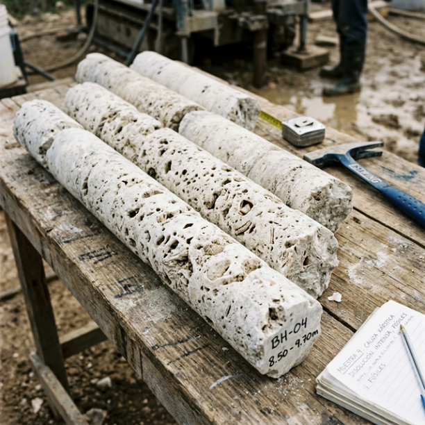
Limestones, Dolomites and Marbles
karstic structures (caves, sinkholes, dolines) that pose the main geotechnical risk.
View details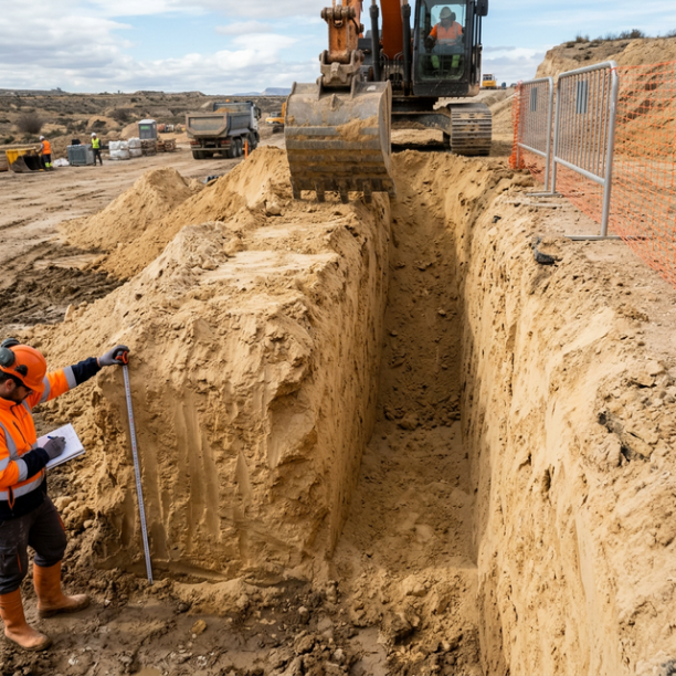
Fine sands and silts
Fine to very fine granular soils with medium to loose compacity. Typical of floodplains and coastlines. Although they can support light buildings, they are treacherous soils linked to water processes:
View details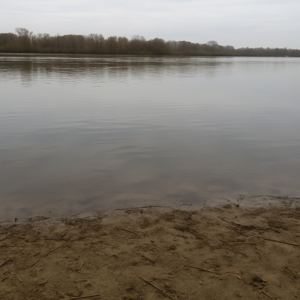
Water mass
Area corresponding to rivers, lakes, reservoirs, lagoons, permanent marshes or submerged coastal strips. The point consulted lies on a body of water identified cartographically by the IGME in its geol
View details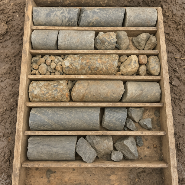
Sandstones, Conglomerates and Flysch
Sedimentary rocks formed by the cementation of fragments of other pre-existing rocks. They include sandstones (cemented sand), conglomerates (cemented gravels) and the rhythmic alternation of sandston
View detailsConstruction risks in Montilla
Approximate estimates. They do not replace the geotechnical study.
| Soil type | Expansivity | Settlements | Water table | Seismicity | Minimum foundation |
|---|---|---|---|---|---|
| Limestones, Dolomites and Marbles | None | Media | Media | Downward | In general, direct foundation using braced strip footing... |
| Fine sands and silts | None | High | High | High | To avoid local punching, the foundation slab is used ext... |
| Water mass | None | Downward | High | Downward | It is not possible to found on a body of water. If the p... |
| Sandstones, Conglomerates and Flysch | None | Media | Media | Media | Direct foundation is feasible in most cases. For flysch ... |
Interactive geological map · Montilla
Mapping: IGME GEODE 50k · IGME MAGNA 50 · ICGC (Catalonia)
Geological Viewer
IGME · ICGC- Click on the map to see the geology at the point.
- Use the layer buttons to switch between geological views (GEODE, MAGNA, Lithology, Hydrogeology).
- Adjust the opacity of the geological layer with the control below.
- Press the full-screen button to expand the viewer.
Geological information
Typical stratigraphic profile
Indicative subsurface cross-section in Montilla · Based on GEODE soil types
Indicative profile based on GEODE soil types and typical CTE thicknesses
Seismic risk in Montilla
- 1 M 2.4 2023
- 2 M 1.6 2021
How do we carry out your geotechnical study?
Step
Free quote
Request a quotation for your geotechnical study. Completely free and with no obligation.
Step
We arrange a day
We are looking for a day and time to carry out the field study.
Step
Conducting the geotechnical study
We’re going to move and carry out the study. In an hour or two we’ll have finished.
Step
Report submission
Within a week we will send you the signed documents of the geotechnical study by an accredited geologist.
Also available in
Spain’s most populated cities
Useful information about Geotechnical study
In-depth articles


Entities and institutions