Estudio geotécnico in Villatorres
Do you need a Geotechnical study?
Find the best price and service in Villatorres. Get a free quote.
More than 1000 geotechnical studies carried out
Get personalized attention
We can contact you via WhatsApp, phone, or email, whichever you prefer.
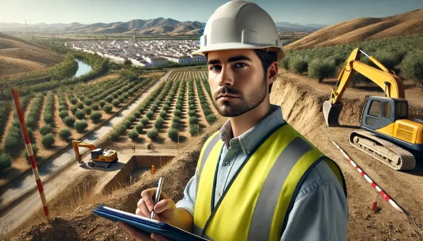
Comprehensive Geotechnical Studies
Comprehensive Geotechnical Studies
We combine field analysis and laboratory testing to provide accurate technical reports and foundation solutions.


Expert professional
Expert professional
Technicians with more than 15 years of experience in the industry. We are specialists in access to difficult locations such as sites with level changes, basements, etc.
Accredited
Accredited
Geotechnical calculations comply with the rules established by Eurocode 7, UNE-EN ISO 22476-4:2016.

Best price
Best price
Very competitive prices. The best prices for geotechnical studies in Spain. Request a quote and check it.
Speed and quality
Speed and quality
Within 7 to 10 days you will receive a signed report from a geologist. It is mandatory in order to carry out new construction or refurbishment works that involve modifications to the structure.

Work areas
We provide Geotechnical study services in all locations in Villatorres.
This includes the following geographical areas: Province of Almería, Province of Cádiz, Province of Córdoba, Province of Granada, Province of Huelva, Province of Jaén, Province of Málaga, Province of Seville, Andalucía and surrounding areas.
We travel to your home in Villatorres when it suits you, agreeing on a day and time.

Types of ground in Villatorres
In Villatorres, a rocky substrate predominates, composed mainly of limestones, dolomites and marbles, forming approximately 73% of the ground. This type of material usually provides a notable bearing capacity for structures, although certain areas include sandstones and conglomerates of more sporadic occurrence, as well as compact gravels present residually. The presence of formations that are generally impermeable implies that, although superficial aquifers may exist in specific locations, infiltration is limited, which benefits the stability of the foundation provided that the absence of interbedded soft layers—capable of reducing the bearing capacity—is verified.
From the seismic standpoint, Villatorres lies in an area with high activity, with 200 recorded events over the last three decades and a maximum magnitude close to 4.4; although the value of Mmax does not require special seismic design under the regulations, seismic recurrence is an aspect to take into account in relevant structural projects. In addition, the presence of karst processes is significant, so it is essential to check for voids or cavities in the substrate before defining the final foundation. The main factor conditioning the geotechnical study is identifying and verifying the risk of karstification, together with assessing the recorded seismicity.
Construction risks in Villatorres
Approximate estimates. They do not replace the geotechnical study.
| Soil type | Expansivity | Settlements | Water table | Seismicity | Minimum foundation |
|---|---|---|---|---|---|
| Limestones, Dolomites and Marbles | None | Media | Media | Downward | In general, direct foundation using braced strip footing... |
| Sandstones, Conglomerates and Flysch | None | Media | Media | Media | Direct foundation is feasible in most cases. For flysch ... |
| Compact gravels and sands | None | Downward | High | Downward | Conventional shallow foundation without problems. Raft f... |
Interactive geological map · Villatorres
Mapping: IGME GEODE 50k · IGME MAGNA 50 · ICGC (Catalonia)
Geological Viewer
IGME · ICGC- Click on the map to see the geology at the point.
- Use the layer buttons to switch between geological views (GEODE, MAGNA, Lithology, Hydrogeology).
- Adjust the opacity of the geological layer with the control below.
- Press the full-screen button to expand the viewer.
Geological information
Typical stratigraphic profile
Indicative subsurface cross-section in Villatorres · Based on GEODE soil types
Indicative profile based on GEODE soil types and typical CTE thicknesses
Seismic risk in Villatorres
Seismic risk is assessed at municipal level. These are aggregated data for the area.
- 1 M 4.4 2003
- 2 M 4.4 2012
- 3 M 4.2 2018
How do we carry out your geotechnical study?
How do we carry out your geotechnical study?
Step
Free quote
Free quote
Request a quotation for your geotechnical study. Completely free and with no obligation.
Step
We arrange a day
We arrange a day
We are looking for a day and time to carry out the field study.
Step
Conducting the geotechnical study
Conducting the geotechnical study
We’re going to move and carry out the study. In an hour or two we’ll have finished.
Step
Report submission
Report submission
Within a week we will send you the signed documents of the geotechnical study by an accredited geologist.
Also available in
Spain’s most populated cities
Useful information about Geotechnical study
In-depth articles


Entities and institutions


