Estudio geotécnico in Villaescusa
Do you need a Geotechnical study?
Find the best price and service in Villaescusa. Get a free quote.
More than 1000 geotechnical studies carried out
Get personalized attention
We can contact you via WhatsApp, phone, or email, whichever you prefer.
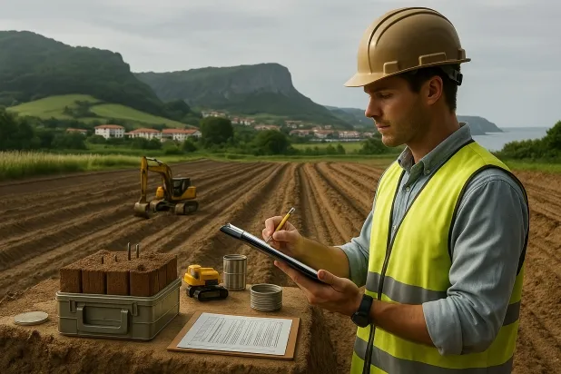
Comprehensive Geotechnical Studies
Comprehensive Geotechnical Studies
We combine field analysis and laboratory testing to provide accurate technical reports and foundation solutions.


Expert professional
Expert professional
Technicians with more than 15 years of experience in the industry. We are specialists in access to difficult locations such as sites with level changes, basements, etc.
Accredited
Accredited
Geotechnical calculations comply with the rules established by Eurocode 7, UNE-EN ISO 22476-4:2016.

Best price
Best price
Very competitive prices. The best prices for geotechnical studies in Spain. Request a quote and check it.
Speed and quality
Speed and quality
Within 7 to 10 days you will receive a signed report from a geologist. It is mandatory in order to carry out new construction or refurbishment works that involve modifications to the structure.

Work areas
We provide Geotechnical study in all localities of Villaescusa.
This includes the following geographical areas: Alfoz de Lloredo, Ampuero, Arenas de Iguña, Argoños, Arnuero, El Astillero, Bárcena de Cicero, Bareyo, Cabezón de la Sal, Camargo, Cards, Castañeda, Castro-Urdiales, Cillorigo de Liébana, Colindres, Comillas, Los Corrales de Buelna, Corvera de Toranzo, Campoo de Enmedio, Entrambasaguas, Guriezo, Hazas de Cesto, Hermandad de Campoo de Suso, Laredo, Liendo, Liérganes, Limpias, Marina de Cudeyo, Mazcuerras, Medio Cudeyo, Meruelo, Miengo, Molledo, Noja, Penagos, Piélagos, Polanco, Potes, Puente Viesgo, Ramales de la Victoria, Reinosa, Reocín, Ribamontán al Mar, Ribamontán al Monte, Rionansa, Riotuerto, Ruente, San Felices de Buelna, Santa Cruz de Bezana, Santa María de Cayón, Santander, Santillana del Mar, Santiurde de Toranzo, Santoña, San Vicente de la Barquera, Selaya, Soba, Solórzano, Suances, Torrelavega, Valdáliga, Val de San Vicente, Villacarriedo, Villaescusa, Villafufre, Vote, Cantabria and surrounding areas.
We travel to your home in Villaescusa when it suits you, agreeing on a day and time.

Types of ground in Villaescusa
In Villaescusa, the dominant subsoil is formed mainly by sandstones, conglomerates and flysch, with a frequent presence of shales and schists. These materials usually provide good bearing capacity for foundations, with direct or shallow foundation being particularly suitable in areas where compact gravels and sands predominate, due to their favourable natural densification. The high permeability reported in the underlying aquifers may require additional hydrological analyses depending on the type of construction and the foundation depth.
Seismicity in Villaescusa is notable, with 145 events accumulated over the last 30 years, although the maximum recorded magnitude is 4; therefore, seismic risk should be monitored, though not conditioned by extreme magnitudes. Since the subsoil is not clayey, the risk of expansiveness is ruled out, which facilitates foundation design. The most relevant technical constraint to consider in the area is the assessment of permeability and the possible presence of groundwater, associated with extensive and productive aquifers.
Phyllites and schists
34.90%Compact gravels and sands
15.43%
Construction risks in Villaescusa
Approximate estimates. They do not replace the geotechnical study.
| Soil type | Expansivity | Settlements | Water table | Seismicity | Minimum foundation |
|---|---|---|---|---|---|
| Sandstones, Conglomerates and Flysch | None | Media | Media | Media | Direct foundation is feasible in most cases. For flysch ... |
| Phyllites and schists | None | Media | Media | Media | Shallow foundation if the stratum is competent. Strong b... |
| Compact gravels and sands | None | Downward | High | Downward | Conventional shallow foundation without problems. Raft f... |
Interactive geological map · Villaescusa
Mapping: IGME GEODE 50k · IGME MAGNA 50 · ICGC (Catalonia)
Geological Viewer
IGME · ICGC- Click on the map to see the geology at the point.
- Use the layer buttons to switch between geological views (GEODE, MAGNA, Lithology, Hydrogeology).
- Adjust the opacity of the geological layer with the control below.
- Press the full-screen button to expand the viewer.
Geological information
Typical stratigraphic profile
Indicative subsurface cross-section in Villaescusa · Based on GEODE soil types
Indicative profile based on GEODE soil types and typical CTE thicknesses
Seismic risk in Villaescusa
Seismic risk is assessed at municipal level. These are aggregated data for the area.
- 1 M 4 2018
- 2 M 3.5 2018
- 3 M 3.4 2000
How do we carry out your geotechnical study?
How do we carry out your geotechnical study?
Step
Free quote
Free quote
Request a quotation for your geotechnical study. Completely free and with no obligation.
Step
We arrange a day
We arrange a day
We are looking for a day and time to carry out the field study.
Step
Conducting the geotechnical study
Conducting the geotechnical study
We’re going to move and carry out the study. In an hour or two we’ll have finished.
Step
Report submission
Report submission
Within a week we will send you the signed documents of the geotechnical study by an accredited geologist.
Also available in
Spain’s most populated cities
Useful information about Geotechnical study
In-depth articles


Entities and institutions


