Estudio geotécnico in Sumacàrcer
Do you need a Geotechnical study?
Find the best price and service in Sumacàrcer. Get a free quote.
More than 1000 geotechnical studies carried out
Approximate price 750€
We can contact you via WhatsApp, phone, or email, whichever you prefer.
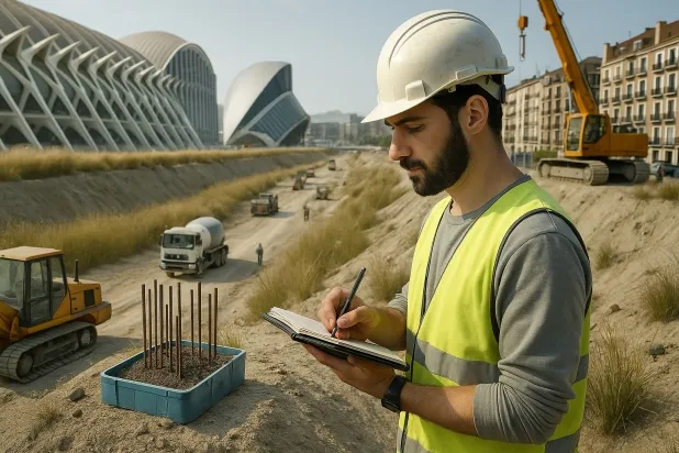
Comprehensive Geotechnical Studies
Comprehensive Geotechnical Studies
We combine field analysis and laboratory testing to provide accurate technical reports and foundation solutions.


Expert professional
Expert professional
Technicians with more than 15 years of experience in the industry. We are specialists in access to difficult locations such as sites with level changes, basements, etc.
Accredited
Accredited
Geotechnical calculations comply with the rules established by Eurocode 7, UNE-EN ISO 22476-4:2016.

Best price
Best price
Very competitive prices. The best prices for geotechnical studies in Spain. Request a quote and check it.
Speed and quality
Speed and quality
Within 7 to 10 days you will receive a signed report from a geologist. It is mandatory in order to carry out new construction or refurbishment works that involve modifications to the structure.

Work areas
We provide Geotechnical study in all towns and localities of Sumacàrcer.
This includes the following geographical areas: Alicante, Castellón, Valencia, Comunidad Valenciana and surrounding areas.
We travel to your home in Sumacàrcer at a time that suits you, agreeing a day and time.

Types of ground in Sumacàrcer
In Sumacàrcer, the geological substrate is widely dominated by limestones, dolomites and marbles, giving the ground a high bearing capacity, which is favourable for most types of foundation. Fine sandstones and silts occur only in specific spots, as do gypsum, anhydrite and salts, the dissolution processes of which can affect stability if they are located near the foundation zone. Compact gravels and sands, although scarce in occurrence, can provide good founding support, whereas hard clays and marls appear only rarely and, both because of their low frequency and because they are overconsolidated, they do not pose significant issues when selecting foundation systems.
Seismicity in Sumacàrcer is considered moderate, with 16 recorded events over the last 30 years and a maximum magnitude of 3.2. These levels do not require specific structural measures in most projects. As it is an area with karstic development, it is essential to verify the existence of cavities or dissolution processes before any intervention in the subsoil, as they determine foundation safety in a decisive manner. The fact that a non-clayey substrate predominates minimises the risk of expansivity; therefore, the main geotechnical constraint is the possible presence of karstic processes and, to a lesser extent, the influence of gypsum and salts in the ground.
Water mass
7.27%Fine sands and silts
5.42%
Construction risks in Sumacàrcer
Approximate estimates. They do not replace the geotechnical study.
| Soil type | Expansivity | Settlements | Water table | Seismicity | Minimum foundation |
|---|---|---|---|---|---|
| Limestones, Dolomites and Marbles | None | Media | Media | Downward | In general, direct foundation using braced strip footing... |
| Water mass | None | Downward | High | Downward | It is not possible to found on a body of water. If the p... |
| Fine sands and silts | None | High | High | High | To avoid local punching, the foundation slab is used ext... |
| Gypsum, Anhydrite and Salts | Media | High | High | Media | The foundation must be designed to withstand local loss ... |
| Compact gravels and sands | None | Downward | High | Downward | Conventional shallow foundation without problems. Raft f... |
| Overconsolidated clays and marls (Duras) | Media | Media | Downward | Downward | Direct foundation is viable. Piling is rarely resorted t... |
Interactive geological map · Sumacàrcer
Mapping: IGME GEODE 50k · IGME MAGNA 50 · ICGC (Catalonia)
Geological Viewer
IGME · ICGC- Click on the map to see the geology at the point.
- Use the layer buttons to switch between geological views (GEODE, MAGNA, Lithology, Hydrogeology).
- Adjust the opacity of the geological layer with the control below.
- Press the full-screen button to expand the viewer.
Geological information
Typical stratigraphic profile
Indicative subsurface cross-section in Sumacàrcer · Based on GEODE soil types
Indicative profile based on GEODE soil types and typical CTE thicknesses
Seismic risk in Sumacàrcer
- 1 M 3.2 2001
- 2 M 2.9 2024
- 3 M 2.8 1999
How do we carry out your geotechnical study?
How do we carry out your geotechnical study?
Step
Free quote
Free quote
Request a quotation for your geotechnical study. Completely free and with no obligation.
Step
We arrange a day
We arrange a day
We are looking for a day and time to carry out the field study.
Step
Conducting the geotechnical study
Conducting the geotechnical study
We’re going to move and carry out the study. In an hour or two we’ll have finished.
Step
Report submission
Report submission
Within a week we will send you the signed documents of the geotechnical study by an accredited geologist.
Also available in
Spain’s most populated cities
Useful information about Geotechnical study
In-depth articles


Entities and institutions


