Estudio geotécnico in Pino, O
Do you need a Geotechnical study?
Find the best price and service in Pino, O. Get a free quote.
More than 1000 geotechnical studies carried out
Get personalized attention
We can contact you via WhatsApp, phone, or email, whichever you prefer.
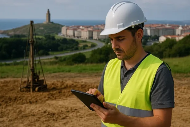
Comprehensive Geotechnical Studies
Comprehensive Geotechnical Studies
We combine field analysis and laboratory testing to provide accurate technical reports and foundation solutions.


Expert professional
Expert professional
Technicians with more than 15 years of experience in the industry. We are specialists in access to difficult locations such as sites with level changes, basements, etc.
Accredited
Accredited
Geotechnical calculations comply with the rules established by Eurocode 7, UNE-EN ISO 22476-4:2016.

Best price
Best price
Very competitive prices. The best prices for geotechnical studies in Spain. Request a quote and check it.
Speed and quality
Speed and quality
Within 7 to 10 days you will receive a signed report from a geologist. It is mandatory in order to carry out new construction or refurbishment works that involve modifications to the structure.

Work areas
We provide Geotechnical study in all locations of Pino, O.
This includes the following geographical areas: Province of A Coruña, Lugo Province, Province of Ourense, Province of Pontevedra, Galicia and surrounding areas.
We will come to your home in Pino, O when it suits you, agreeing a day and time.

Types of ground in Pino, O
In the municipality of Pino, O, the strata of compacted gravels and sands predominate, representing more than 75% of the soils present, accompanied by a significant proportion of fine sands and silts. These materials, due to their granular nature and good bearing capacity, usually provide favourable conditions for shallow foundation. However, it is important to analyse the spot presence of silty materials, whose volumetric changes with moisture could affect the uniformity of settlement if they are not treated appropriately in building projects.
Seismicity in Pino, O is considered moderate, with 20 events recorded in the last 30 years, although the maximum magnitude has been very low (Mmax 1.8), which limits the seismic impact on structural design. No karst-related phenomena or risks associated with expansive clays are reported in the area, so the main constraint is focused on controlling the homogeneity and compaction of the gravel and sand levels, as well as an appropriate characterisation of fine layers to ensure the safety and durability of the foundations.
Compact gravels and sands
75.37%Fine sands and silts
24.63%
Construction risks in Pino, O
Approximate estimates. They do not replace the geotechnical study.
| Soil type | Expansivity | Settlements | Water table | Seismicity | Minimum foundation |
|---|---|---|---|---|---|
| Compact gravels and sands | None | Downward | High | Downward | Conventional shallow foundation without problems. Raft f... |
| Fine sands and silts | None | High | High | High | To avoid local punching, the foundation slab is used ext... |
Interactive geological map · Pino, O
Mapping: IGME GEODE 50k · IGME MAGNA 50 · ICGC (Catalonia)
Geological Viewer
IGME · ICGC- Click on the map to see the geology at the point.
- Use the layer buttons to switch between geological views (GEODE, MAGNA, Lithology, Hydrogeology).
- Adjust the opacity of the geological layer with the control below.
- Press the full-screen button to expand the viewer.
Geological information
Typical stratigraphic profile
Indicative subsurface cross-section in Pino, O · Based on GEODE soil types
Indicative profile based on GEODE soil types and typical CTE thicknesses
Seismic risk in Pino, O
Seismic risk is assessed at municipal level. These are aggregated data for the area.
- 1 M 1.8 2010
- 2 M 1.7 2008
- 3 M 1.6 2010
How do we carry out your geotechnical study?
How do we carry out your geotechnical study?
Step
Free quote
Free quote
Request a quotation for your geotechnical study. Completely free and with no obligation.
Step
We arrange a day
We arrange a day
We are looking for a day and time to carry out the field study.
Step
Conducting the geotechnical study
Conducting the geotechnical study
We’re going to move and carry out the study. In an hour or two we’ll have finished.
Step
Report submission
Report submission
Within a week we will send you the signed documents of the geotechnical study by an accredited geologist.
Also available in
Spain’s most populated cities
Useful information about Geotechnical study
In-depth articles


Entities and institutions


