Estudio geotécnico in Níjar
Do you need a Geotechnical study?
Find the best price and service in Níjar. Get a free quote.
More than 1000 geotechnical studies carried out
Get personalized attention
We can contact you via WhatsApp, phone, or email, whichever you prefer.
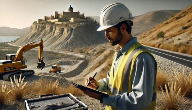
Comprehensive Geotechnical Studies
Comprehensive Geotechnical Studies
We combine field analysis and laboratory testing to provide accurate technical reports and foundation solutions.


Expert professional
Expert professional
Technicians with more than 15 years of experience in the industry. We are specialists in access to difficult locations such as sites with level changes, basements, etc.
Accredited
Accredited
Geotechnical calculations comply with the rules established by Eurocode 7, UNE-EN ISO 22476-4:2016.

Best price
Best price
Very competitive prices. The best prices for geotechnical studies in Spain. Request a quote and check it.
Speed and quality
Speed and quality
Within 7 to 10 days you will receive a signed report from a geologist. It is mandatory in order to carry out new construction or refurbishment works that involve modifications to the structure.

Work areas
We provide Geotechnical study in all localities of Níjar.
This includes the following geographical areas: Province of Almería, Province of Cádiz, Province of Córdoba, Province of Granada, Province of Huelva, Province of Jaén, Province of Málaga, Province of Seville, Andalucía and surrounding areas.
We travel to your home in Níjar when it suits you, agreeing a day and time.

Types of ground in Níjar
In Níjar, slate and schist substrata predominate, in addition to a significant proportion of fine sands and silts. These materials exhibit contrasting properties in terms of bearing capacity: the slates and schists provide moderate strength, whereas sandy and silty deposits may show some compressibility and sensitivity to erosion. The minor presence of gravels and compact sands provides localised areas suitable for shallow foundations, but aquifers of moderate extent imply attention to the possible rise of the groundwater table. If there are lenses of limestones, dolomites or marbles, their assessment is essential because of the potential appearance of voids associated with them.
The area of Níjar shows a notable level of seismicity, with 110 events over 30 years and a maximum magnitude of 4.6, a factor that must be incorporated into the parameters for structural design calculations for foundations. Furthermore, the existence of limestone and dolomitic formations introduces the karst variable, whose thorough verification is mandatory before proposing any foundation intervention, due to the inherent risk of cavities. Since the dominant soils are not clayey, the risk of expansivity is ruled out, leaving the main precaution as control of karst-related phenomena and the ground’s seismic response.
Phyllites and schists
26.21%Fine sands and silts
26.21%
Construction risks in Níjar
Approximate estimates. They do not replace the geotechnical study.
| Soil type | Expansivity | Settlements | Water table | Seismicity | Minimum foundation |
|---|---|---|---|---|---|
| Phyllites and schists | None | Media | Media | Media | Shallow foundation if the stratum is competent. Strong b... |
| Fine sands and silts | None | High | High | High | To avoid local punching, the foundation slab is used ext... |
| Limestones, Dolomites and Marbles | None | Media | Media | Downward | In general, direct foundation using braced strip footing... |
| Compact gravels and sands | None | Downward | High | Downward | Conventional shallow foundation without problems. Raft f... |
| Sandstones, Conglomerates and Flysch | None | Media | Media | Media | Direct foundation is feasible in most cases. For flysch ... |
| Granite, gneiss and igneous rocks | None | Downward | Downward | Downward | Direct foundation using isolated spread footings bearing... |
Interactive geological map · Níjar
Mapping: IGME GEODE 50k · IGME MAGNA 50 · ICGC (Catalonia)
Geological Viewer
IGME · ICGC- Click on the map to see the geology at the point.
- Use the layer buttons to switch between geological views (GEODE, MAGNA, Lithology, Hydrogeology).
- Adjust the opacity of the geological layer with the control below.
- Press the full-screen button to expand the viewer.
Geological information
Typical stratigraphic profile
Indicative subsurface cross-section in Níjar · Based on GEODE soil types
Indicative profile based on GEODE soil types and typical CTE thicknesses
Seismic risk in Níjar
- 1 M 4.6 2008
- 2 M 3.9 1998
- 3 M 3.7 2001
How do we carry out your geotechnical study?
How do we carry out your geotechnical study?
Step
Free quote
Free quote
Request a quotation for your geotechnical study. Completely free and with no obligation.
Step
We arrange a day
We arrange a day
We are looking for a day and time to carry out the field study.
Step
Conducting the geotechnical study
Conducting the geotechnical study
We’re going to move and carry out the study. In an hour or two we’ll have finished.
Step
Report submission
Report submission
Within a week we will send you the signed documents of the geotechnical study by an accredited geologist.
Also available in
Spain’s most populated cities
Useful information about Geotechnical study
In-depth articles


Entities and institutions


