Estudio geotécnico in Los Villares
Do you need a Geotechnical study?
Find the best price and service in Los Villares. Get a free quote.
More than 1000 geotechnical studies carried out
Get personalized attention
We can contact you via WhatsApp, phone, or email, whichever you prefer.
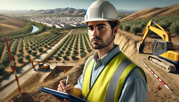
Comprehensive Geotechnical Studies
Comprehensive Geotechnical Studies
We combine field analysis and laboratory testing to provide accurate technical reports and foundation solutions.


Expert professional
Expert professional
Technicians with more than 15 years of experience in the industry. We are specialists in access to difficult locations such as sites with level changes, basements, etc.
Accredited
Accredited
Geotechnical calculations comply with the rules established by Eurocode 7, UNE-EN ISO 22476-4:2016.

Best price
Best price
Very competitive prices. The best prices for geotechnical studies in Spain. Request a quote and check it.
Speed and quality
Speed and quality
Within 7 to 10 days you will receive a signed report from a geologist. It is mandatory in order to carry out new construction or refurbishment works that involve modifications to the structure.

Work areas
We provide Geotechnical study in all towns of Los Villares.
This includes the following geographical areas: Province of Almería, Province of Cádiz, Province of Córdoba, Province of Granada, Province of Huelva, Province of Jaén, Province of Málaga, Province of Seville, Andalucía and surrounding areas.
We will go to your home in Los Villares when it suits you best, agreeing a day and time.

Types of ground in Los Villares
In Los Villares, soils composed mainly of fine sands and silts predominate, being characterised by their loose texture and fine grading. This type of material usually exhibits good drainage capacity and a variable bearing capacity depending on the degree of compaction, which makes it essential to carry out a detailed geotechnical study to determine the suitability of shallow foundations or the need to extend down to competent strata. The presence of highly permeable and extensive aquifers should be considered especially in controlling the groundwater table and in the possible infiltration of water towards the excavations.
Given the high seismicity recorded in the area, with 200 events over 30 years despite a moderate maximum magnitude (Mmax 4.4), the seismic influence remains within non-critical parameters but must not be ignored when planning structures. The non-clayey substrate eliminates the risk of expansivity and there are no karst-related processes associated with this environment. Thus, the main geotechnical constraint will be to ensure correct foundation design on fine soils, prioritising compaction and the management of groundwater.
Fine sands and silts
100.00%
Construction risks in Los Villares
Approximate estimates. They do not replace the geotechnical study.
| Soil type | Expansivity | Settlements | Water table | Seismicity | Minimum foundation |
|---|---|---|---|---|---|
| Fine sands and silts | None | High | High | High | To avoid local punching, the foundation slab is used ext... |
Interactive geological map · Los Villares
Mapping: IGME GEODE 50k · IGME MAGNA 50 · ICGC (Catalonia)
Geological Viewer
IGME · ICGC- Click on the map to see the geology at the point.
- Use the layer buttons to switch between geological views (GEODE, MAGNA, Lithology, Hydrogeology).
- Adjust the opacity of the geological layer with the control below.
- Press the full-screen button to expand the viewer.
Geological information
Typical stratigraphic profile
Indicative subsurface cross-section in Los Villares · Based on GEODE soil types
Indicative profile based on GEODE soil types and typical CTE thicknesses
Seismic risk in Los Villares
Seismic risk is assessed at municipal level. These are aggregated data for the area.
- 1 M 4.4 2003
- 2 M 4.4 2012
- 3 M 4.2 2018
How do we carry out your geotechnical study?
How do we carry out your geotechnical study?
Step
Free quote
Free quote
Request a quotation for your geotechnical study. Completely free and with no obligation.
Step
We arrange a day
We arrange a day
We are looking for a day and time to carry out the field study.
Step
Conducting the geotechnical study
Conducting the geotechnical study
We’re going to move and carry out the study. In an hour or two we’ll have finished.
Step
Report submission
Report submission
Within a week we will send you the signed documents of the geotechnical study by an accredited geologist.
Also available in
Spain’s most populated cities
Useful information about Geotechnical study
In-depth articles


Entities and institutions


