Estudio geotécnico in Ledesma
Do you need a Geotechnical study?
Find the best price and service in Ledesma. Get a free quote.
More than 1000 geotechnical studies carried out
Get personalized attention
We can contact you via WhatsApp, phone, or email, whichever you prefer.
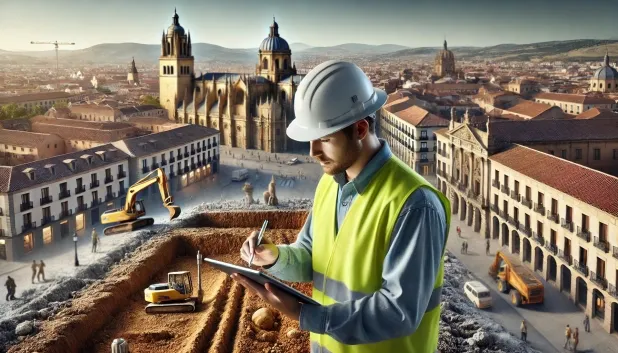
Comprehensive Geotechnical Studies
Comprehensive Geotechnical Studies
We combine field analysis and laboratory testing to provide accurate technical reports and foundation solutions.


Expert professional
Expert professional
Technicians with more than 15 years of experience in the industry. We are specialists in access to difficult locations such as sites with level changes, basements, etc.
Accredited
Accredited
Geotechnical calculations comply with the rules established by Eurocode 7, UNE-EN ISO 22476-4:2016.

Best price
Best price
Very competitive prices. The best prices for geotechnical studies in Spain. Request a quote and check it.
Speed and quality
Speed and quality
Within 7 to 10 days you will receive a signed report from a geologist. It is mandatory in order to carry out new construction or refurbishment works that involve modifications to the structure.

Work areas
We provide Geotechnical study in all locations of Ledesma.
This includes the following geographical areas: Avila Province, Province of Burgos, Province of León, Province of Palencia, Province of Salamanca, Segovia Province, Province of Soria, Province of Valladolid, Zamora Province, Castilla y León and surrounding areas.
We come to your home in Ledesma whenever it suits you, agreeing a day and time.

Types of ground in Ledesma
In Ledesma, the subsoil is dominated by granite, gneiss and other igneous rocks, materials with high bearing capacity and great mechanical strength. Slate, schist and occasionally sandstone or conglomerates may appear in some areas, but their presence usually does not severely limit the possibilities for direct foundation. Detrital formations of compact gravels and sands, although less frequent, also provide favourable behaviour for shallow foundations, provided that any saturated area or one close to water bodies is avoided. The generally low permeability of the ground limits infiltration, which contributes to the hydraulic stability of the foundations.
Seismic activity in the municipality is very low, with only about one recorded event every thirty years and a low maximum magnitude, which means that the seismic requirements for structural design can be considered minimal. The absence of karst rules out risks associated with underground cavities, and the non-clayey composition of the subsoil eliminates the possibility of expansivity problems. In conclusion, the determining factor for the geotechnical study in Ledesma is to ensure an adequate characterisation of the quality of the rock mass and to identify specific sectors with possible near-surface aquifers.
Phyllites and schists
16.51%Water mass
13.21%
Construction risks in Ledesma
Approximate estimates. They do not replace the geotechnical study.
| Soil type | Expansivity | Settlements | Water table | Seismicity | Minimum foundation |
|---|---|---|---|---|---|
| Granite, gneiss and igneous rocks | None | Downward | Downward | Downward | Direct foundation using isolated spread footings bearing... |
| Phyllites and schists | None | Media | Media | Media | Shallow foundation if the stratum is competent. Strong b... |
| Water mass | None | Downward | High | Downward | It is not possible to found on a body of water. If the p... |
| Sandstones, Conglomerates and Flysch | None | Media | Media | Media | Direct foundation is feasible in most cases. For flysch ... |
| Compact gravels and sands | None | Downward | High | Downward | Conventional shallow foundation without problems. Raft f... |
Interactive geological map · Ledesma
Mapping: IGME GEODE 50k · IGME MAGNA 50 · ICGC (Catalonia)
Geological Viewer
IGME · ICGC- Click on the map to see the geology at the point.
- Use the layer buttons to switch between geological views (GEODE, MAGNA, Lithology, Hydrogeology).
- Adjust the opacity of the geological layer with the control below.
- Press the full-screen button to expand the viewer.
Geological information
Typical stratigraphic profile
Indicative subsurface cross-section in Ledesma · Based on GEODE soil types
Indicative profile based on GEODE soil types and typical CTE thicknesses
Seismic risk in Ledesma
- 1 M 1.9 2006
How do we carry out your geotechnical study?
How do we carry out your geotechnical study?
Step
Free quote
Free quote
Request a quotation for your geotechnical study. Completely free and with no obligation.
Step
We arrange a day
We arrange a day
We are looking for a day and time to carry out the field study.
Step
Conducting the geotechnical study
Conducting the geotechnical study
We’re going to move and carry out the study. In an hour or two we’ll have finished.
Step
Report submission
Report submission
Within a week we will send you the signed documents of the geotechnical study by an accredited geologist.
Also available in
Spain’s most populated cities
Useful information about Geotechnical study
In-depth articles


Entities and institutions


