Estudio geotécnico in Lecrín
Do you need a Geotechnical study?
Find the best price and service in Lecrín. Get a free quote.
More than 1000 geotechnical studies carried out
Get personalized attention
We can contact you via WhatsApp, phone, or email, whichever you prefer.
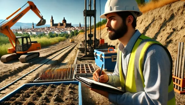
Comprehensive Geotechnical Studies
Comprehensive Geotechnical Studies
We combine field analysis and laboratory testing to provide accurate technical reports and foundation solutions.


Expert professional
Expert professional
Technicians with more than 15 years of experience in the industry. We are specialists in access to difficult locations such as sites with level changes, basements, etc.
Accredited
Accredited
Geotechnical calculations comply with the rules established by Eurocode 7, UNE-EN ISO 22476-4:2016.

Best price
Best price
Very competitive prices. The best prices for geotechnical studies in Spain. Request a quote and check it.
Speed and quality
Speed and quality
Within 7 to 10 days you will receive a signed report from a geologist. It is mandatory in order to carry out new construction or refurbishment works that involve modifications to the structure.

Work areas
We provide Geotechnical study in all towns and villages of Lecrín.
This includes the following geographical areas: Province of Almería, Province of Cádiz, Province of Córdoba, Province of Granada, Province of Huelva, Province of Jaén, Province of Málaga, Province of Seville, Andalucía and the surrounding areas.
We travel to your home in Lecrín whenever it suits you, agreeing on a day and time.

Types of ground in Lecrín
In Lecrín, soils of slates and schists predominate, covering most of the municipality, whereas limestones, dolomites and marbles occur only occasionally. These lithologies give the ground low permeability, although they may give rise to shallow aquifers in specific areas. Bearing capacity is usually high over slate or schist bedrock, providing good conditions for shallow foundations, provided that foundations are not laid on altered materials or in transition zones to limestone areas, where cavities could occur.
Seismic activity in Lecrín is very low, with no records of events of significance and a low maximum magnitude, which minimises this factor in structural design. However, the presence of carbonate materials implies the potential development of karst; therefore, it is essential to verify the existence of cavities or dissolution processes before carrying out any foundations, as this phenomenon is the main local conditioning factor. The absence of clays and a non-clayey substrate exclude the risk of expansivity for constructions in the area.
Phyllites and schists
84.49%
Construction risks in Lecrín
Approximate estimates. They do not replace the geotechnical study.
| Soil type | Expansivity | Settlements | Water table | Seismicity | Minimum foundation |
|---|---|---|---|---|---|
| Phyllites and schists | None | Media | Media | Media | Shallow foundation if the stratum is competent. Strong b... |
| Limestones, Dolomites and Marbles | None | Media | Media | Downward | In general, direct foundation using braced strip footing... |
Interactive geological map · Lecrín
Mapping: IGME GEODE 50k · IGME MAGNA 50 · ICGC (Catalonia)
Geological Viewer
IGME · ICGC- Click on the map to see the geology at the point.
- Use the layer buttons to switch between geological views (GEODE, MAGNA, Lithology, Hydrogeology).
- Adjust the opacity of the geological layer with the control below.
- Press the full-screen button to expand the viewer.
Geological information
Typical stratigraphic profile
Indicative subsurface cross-section in Lecrín · Based on GEODE soil types
Indicative profile based on GEODE soil types and typical CTE thicknesses
Seismic risk in Lecrín
- 1 M 1.8 2025
- 2 M 1.6 2021
- 3 M 1.6 2010
How do we carry out your geotechnical study?
How do we carry out your geotechnical study?
Step
Free quote
Free quote
Request a quotation for your geotechnical study. Completely free and with no obligation.
Step
We arrange a day
We arrange a day
We are looking for a day and time to carry out the field study.
Step
Conducting the geotechnical study
Conducting the geotechnical study
We’re going to move and carry out the study. In an hour or two we’ll have finished.
Step
Report submission
Report submission
Within a week we will send you the signed documents of the geotechnical study by an accredited geologist.
Also available in
Spain’s most populated cities
Useful information about Geotechnical study
In-depth articles


Entities and institutions


