Estudio geotécnico in L'Armentera
Do you need a Geotechnical study?
Find the best price and service in L'Armentera. Get a free quote.
More than 1000 geotechnical studies carried out
Approximate price 750€
We can contact you via WhatsApp, phone, or email, whichever you prefer.
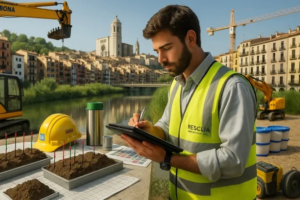
Comprehensive Geotechnical Studies
Comprehensive Geotechnical Studies
We combine field analysis and laboratory testing to provide accurate technical reports and foundation solutions.


Expert professional
Expert professional
Technicians with more than 15 years of experience in the industry. We are specialists in access to difficult locations such as sites with level changes, basements, etc.
Accredited
Accredited
Geotechnical calculations comply with the rules established by Eurocode 7, UNE-EN ISO 22476-4:2016.

Best price
Best price
Very competitive prices. The best prices for geotechnical studies in Spain. Request a quote and check it.
Speed and quality
Speed and quality
Within 7 to 10 days you will receive a signed report from a geologist. It is mandatory in order to carry out new construction or refurbishment works that involve modifications to the structure.

Work areas
We provide Geotechnical study in all towns and villages of L'Armentera.
This includes the following geographical areas: Province of Barcelona, Girona Province, Province of Lleida, Province of Tarragona, Cataluña and surrounding areas.
We travel to your home in L'Armentera whenever suits you, agreeing a day and time.

Types of ground in L'Armentera
In L'Armentera, the predominant ground comprises fine sands and silts, materials considered to have low plasticity, which results in variable bearing capacity, suitable for shallow foundations under conditions of favourable compactness. However, the occasional presence of deltaic muds and peats means that it is necessary to avoid these organic levels as a bearing stratum, as they exhibit very compressible behaviour and low mechanical strength. In general terms, it is recommended to carry out a detailed geotechnical study in order to delineate homogeneous zones and define the optimum foundation levels.
As regards seismicity, the municipality records 10 significant events over 30 years with a maximum magnitude of 1.9, which corresponds to a moderate seismic activity scenario and does not imply critical constraints for the usual structural design. The non-clayey substrate rules out the risk of expansivity, enabling conventional foundation design. The main constraint lies in identifying and excluding the levels of muds or peats when designing the foundation system, thereby ensuring the stability and durability of the structures.
Fine sands and silts
84.62%
Construction risks in L'Armentera
Approximate estimates. They do not replace the geotechnical study.
| Soil type | Expansivity | Settlements | Water table | Seismicity | Minimum foundation |
|---|---|---|---|---|---|
| Fine sands and silts | None | High | High | High | To avoid local punching, the foundation slab is used ext... |
| Fangy clays and peats (Deltaic) | Downward | High | High | High | Inviable with any natural means. Drive tests of enormous... |
Interactive geological map · L'Armentera
Mapping: IGME GEODE 50k · IGME MAGNA 50 · ICGC (Catalonia)
Geological Viewer
IGME · ICGC- Click on the map to see the geology at the point.
- Use the layer buttons to switch between geological views (GEODE, MAGNA, Lithology, Hydrogeology).
- Adjust the opacity of the geological layer with the control below.
- Press the full-screen button to expand the viewer.
Geological information
Typical stratigraphic profile
Indicative subsurface cross-section in L'Armentera · Based on GEODE soil types
Indicative profile based on GEODE soil types and typical CTE thicknesses
Seismic risk in L'Armentera
- 1 M 1.9 2010
- 2 M 1.8 2007
- 3 M 1.7 2010
How do we carry out your geotechnical study?
How do we carry out your geotechnical study?
Step
Free quote
Free quote
Request a quotation for your geotechnical study. Completely free and with no obligation.
Step
We arrange a day
We arrange a day
We are looking for a day and time to carry out the field study.
Step
Conducting the geotechnical study
Conducting the geotechnical study
We’re going to move and carry out the study. In an hour or two we’ll have finished.
Step
Report submission
Report submission
Within a week we will send you the signed documents of the geotechnical study by an accredited geologist.
Also available in
Spain’s most populated cities
Useful information about Geotechnical study
In-depth articles


Entities and institutions


