Estudio geotécnico in La Pola de Gordón
Do you need a Geotechnical study?
Find the best price and service in La Pola de Gordón. Get a free quote.
More than 1000 geotechnical studies carried out
Get personalized attention
We can contact you via WhatsApp, phone, or email, whichever you prefer.
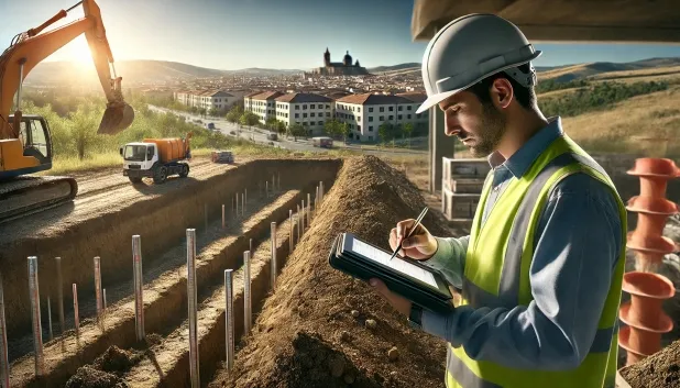
Comprehensive Geotechnical Studies
Comprehensive Geotechnical Studies
We combine field analysis and laboratory testing to provide accurate technical reports and foundation solutions.


Expert professional
Expert professional
Technicians with more than 15 years of experience in the industry. We are specialists in access to difficult locations such as sites with level changes, basements, etc.
Accredited
Accredited
Geotechnical calculations comply with the rules established by Eurocode 7, UNE-EN ISO 22476-4:2016.

Best price
Best price
Very competitive prices. The best prices for geotechnical studies in Spain. Request a quote and check it.
Speed and quality
Speed and quality
Within 7 to 10 days you will receive a signed report from a geologist. It is mandatory in order to carry out new construction or refurbishment works that involve modifications to the structure.

Work areas
We provide Geotechnical study in all locations of La Pola de Gordón.
This includes the following geographical areas: Avila Province, Province of Burgos, Province of León, Province of Palencia, Province of Salamanca, Segovia Province, Province of Soria, Province of Valladolid, Zamora Province, Castilla y León and surrounding areas.
We travel to your home in La Pola de Gordón when it suits you best, agreeing a day and time.

Types of ground in La Pola de Gordón
In La Pola de Gordón, sandstonic substrates, conglomerates and flysch predominate, occasionally accompanied by fine sands, silts and calcareous formations such as limestones, dolomites and marbles. The occasional presence of deltaic muds and peats indicates localised areas where the ground exhibits low bearing capacity, so these layers should be avoided as a foundation base. In general, the dominant formations are compact and have low permeability, which ensures favourable conditions for most foundations, always evaluating the exact location to rule out any influence from soft soils.
Seismicity in the municipality is high, with more than 150 recorded events over three decades and an Mmax value of 4.7, which requires including seismic actions in the structural calculation and design. Given the proportion of limestones and dolomites, the possibility of karst processes must be thoroughly checked before starting any intervention, as they could affect the stability of the ground. The non-clayey substrate rules out expansivity risks, but the main conditioning factor for geotechnical studies in the area will be controlling karst and assessing the seismic response.
Fine sands and silts
19.41%Water mass
3.81%Phyllites and schists
2.71%
Construction risks in La Pola de Gordón
Approximate estimates. They do not replace the geotechnical study.
| Soil type | Expansivity | Settlements | Water table | Seismicity | Minimum foundation |
|---|---|---|---|---|---|
| Sandstones, Conglomerates and Flysch | None | Media | Media | Media | Direct foundation is feasible in most cases. For flysch ... |
| Fine sands and silts | None | High | High | High | To avoid local punching, the foundation slab is used ext... |
| Limestones, Dolomites and Marbles | None | Media | Media | Downward | In general, direct foundation using braced strip footing... |
| Fangy clays and peats (Deltaic) | Downward | High | High | High | Inviable with any natural means. Drive tests of enormous... |
| Water mass | None | Downward | High | Downward | It is not possible to found on a body of water. If the p... |
| Phyllites and schists | None | Media | Media | Media | Shallow foundation if the stratum is competent. Strong b... |
Interactive geological map · La Pola de Gordón
Mapping: IGME GEODE 50k · IGME MAGNA 50 · ICGC (Catalonia)
Geological Viewer
IGME · ICGC- Click on the map to see the geology at the point.
- Use the layer buttons to switch between geological views (GEODE, MAGNA, Lithology, Hydrogeology).
- Adjust the opacity of the geological layer with the control below.
- Press the full-screen button to expand the viewer.
Geological information
Typical stratigraphic profile
Indicative subsurface cross-section in La Pola de Gordón · Based on GEODE soil types
Indicative profile based on GEODE soil types and typical CTE thicknesses
Seismic risk in La Pola de Gordón
Seismic risk is assessed at municipal level. These are aggregated data for the area.
- 1 M 4.7 2006
- 2 M 4.3 2023
- 3 M 4 2006
How do we carry out your geotechnical study?
How do we carry out your geotechnical study?
Step
Free quote
Free quote
Request a quotation for your geotechnical study. Completely free and with no obligation.
Step
We arrange a day
We arrange a day
We are looking for a day and time to carry out the field study.
Step
Conducting the geotechnical study
Conducting the geotechnical study
We’re going to move and carry out the study. In an hour or two we’ll have finished.
Step
Report submission
Report submission
Within a week we will send you the signed documents of the geotechnical study by an accredited geologist.
Also available in
Spain’s most populated cities
Useful information about Geotechnical study
In-depth articles


Entities and institutions


