Estudio geotécnico in Irun
Do you need a Geotechnical study?
Find the best price and service in Irun. Get a free quote.
More than 1000 geotechnical studies carried out
Get personalized attention
We can contact you via WhatsApp, phone, or email, whichever you prefer.
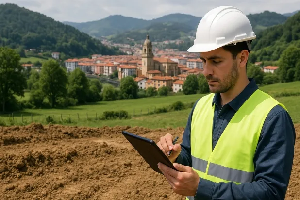
Comprehensive Geotechnical Studies
Comprehensive Geotechnical Studies
We combine field analysis and laboratory testing to provide accurate technical reports and foundation solutions.


Expert professional
Expert professional
Technicians with more than 15 years of experience in the industry. We are specialists in access to difficult locations such as sites with level changes, basements, etc.
Accredited
Accredited
Geotechnical calculations comply with the rules established by Eurocode 7, UNE-EN ISO 22476-4:2016.

Best price
Best price
Very competitive prices. The best prices for geotechnical studies in Spain. Request a quote and check it.
Speed and quality
Speed and quality
Within 7 to 10 days you will receive a signed report from a geologist. It is mandatory in order to carry out new construction or refurbishment works that involve modifications to the structure.

Work areas
We provide Geotechnical study in all locations of Irun.
This includes the following geographical areas: Álava, Gipuzkoa, Biscay, País Vasco and surrounding areas.
We travel to your home in Irun whenever it suits you, agreeing on a day and time.

Types of ground in Irun
In the municipality of Irun, granitic materials, gneiss and other igneous rocks predominate as the substrate, accounting for more than 30% of the ground, followed by sandstones, conglomerates and flysch. These rock formations have high strength and stability, which favours an excellent bearing capacity for shallow, direct foundations, particularly in medium- and large-scale projects. Limestones, dolomites and marbles occur occasionally and may influence localised areas, but in general the dominant presence of compact igneous and sedimentary rocks makes it possible to propose conventional, shallow foundation solutions, minimising the risk of differential settlement. It is important to note that the low frequency of gravels, compact sands, fine sands and silts limits the occurrence of compressible or problematic soils for founding.
The seismicity in Irun is very low, with only 9 recorded events over 30 years and a maximum magnitude below 3.5, so seismic action does not represent a significant design constraint for structural engineering. In addition, the largely non-clayey substrate rules out the risk of expansive soils that could affect the stability of structures. There are no signs of karst development or any significant presence of soluble materials that could induce dissolution-related problems. In conclusion, the high competence of the rock mass is the main geotechnical factor to consider for new construction projects in Irun.
Phyllites and schists
12.97%Water mass
2.83%Fine sands and silts
2.71%
Construction risks in Irun
Approximate estimates. They do not replace the geotechnical study.
| Soil type | Expansivity | Settlements | Water table | Seismicity | Minimum foundation |
|---|---|---|---|---|---|
| Granite, gneiss and igneous rocks | None | Downward | Downward | Downward | Direct foundation using isolated spread footings bearing... |
| Sandstones, Conglomerates and Flysch | None | Media | Media | Media | Direct foundation is feasible in most cases. For flysch ... |
| Limestones, Dolomites and Marbles | None | Media | Media | Downward | In general, direct foundation using braced strip footing... |
| Phyllites and schists | None | Media | Media | Media | Shallow foundation if the stratum is competent. Strong b... |
| Compact gravels and sands | None | Downward | High | Downward | Conventional shallow foundation without problems. Raft f... |
| Water mass | None | Downward | High | Downward | It is not possible to found on a body of water. If the p... |
| Fine sands and silts | None | High | High | High | To avoid local punching, the foundation slab is used ext... |
Interactive geological map · Irun
Mapping: IGME GEODE 50k · IGME MAGNA 50 · ICGC (Catalonia)
Geological Viewer
IGME · ICGC- Click on the map to see the geology at the point.
- Use the layer buttons to switch between geological views (GEODE, MAGNA, Lithology, Hydrogeology).
- Adjust the opacity of the geological layer with the control below.
- Press the full-screen button to expand the viewer.
Geological information
Typical stratigraphic profile
Indicative subsurface cross-section in Irun · Based on GEODE soil types
Indicative profile based on GEODE soil types and typical CTE thicknesses
Seismic risk in Irun
- 1 M 3.2 2001
- 2 M 3 2001
- 3 M 2.6 2003
How do we carry out your geotechnical study?
How do we carry out your geotechnical study?
Step
Free quote
Free quote
Request a quotation for your geotechnical study. Completely free and with no obligation.
Step
We arrange a day
We arrange a day
We are looking for a day and time to carry out the field study.
Step
Conducting the geotechnical study
Conducting the geotechnical study
We’re going to move and carry out the study. In an hour or two we’ll have finished.
Step
Report submission
Report submission
Within a week we will send you the signed documents of the geotechnical study by an accredited geologist.
Also available in
Spain’s most populated cities
Useful information about Geotechnical study
In-depth articles


Entities and institutions


