Estudio geotécnico in Huétor Tájar
Do you need a Geotechnical study?
Find the best price and service in Huétor Tájar. Get a free quote.
More than 1000 geotechnical studies carried out
Get personalized attention
We can contact you via WhatsApp, phone, or email, whichever you prefer.
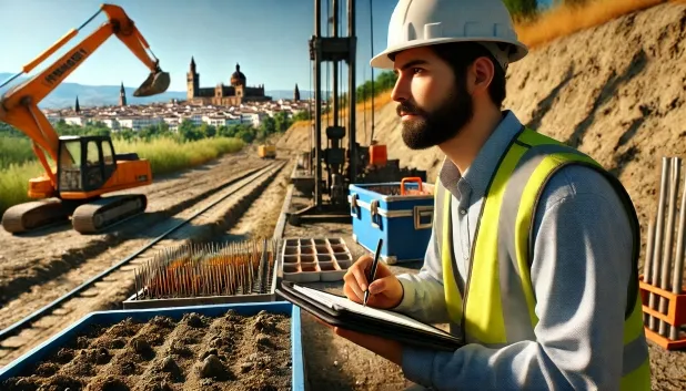
Comprehensive Geotechnical Studies
Comprehensive Geotechnical Studies
We combine field analysis and laboratory testing to provide accurate technical reports and foundation solutions.


Expert professional
Expert professional
Technicians with more than 15 years of experience in the industry. We are specialists in access to difficult locations such as sites with level changes, basements, etc.
Accredited
Accredited
Geotechnical calculations comply with the rules established by Eurocode 7, UNE-EN ISO 22476-4:2016.

Best price
Best price
Very competitive prices. The best prices for geotechnical studies in Spain. Request a quote and check it.
Speed and quality
Speed and quality
Within 7 to 10 days you will receive a signed report from a geologist. It is mandatory in order to carry out new construction or refurbishment works that involve modifications to the structure.

Work areas
We provide Geotechnical study in all localities of Huétor Tájar.
This includes the following geographical areas: Province of Almería, Province of Cádiz, Province of Córdoba, Province of Granada, Province of Huelva, Province of Jaén, Province of Málaga, Province of Seville, Andalucía and surrounding areas.
We come to your home in Huétor Tájar when it suits you, arranging a day and time.

Types of ground in Huétor Tájar
In Huétor Tájar, the subsurface is dominated by the presence of limestones, dolomites and marbles, materials with high mechanical competence that favour an adequate bearing capacity for buildings, provided that their condition and fracturing are homogeneous with depth. Secondary deposits of fine sands and silts also occur, frequent in the area, together with some small extensions of deltaic clays and peats, which must be avoided as a bearing stratum due to their low consistency and high potential for differential settlements. Careful stratigraphic analysis is essential in order to select the optimum foundation level and avoid problems associated with soils of low bearing capacity.
Seismic activity in Huétor Tájar is moderate, with 30 recorded events over 30 years and a maximum magnitude (Mmax) of 3.6, which implies standard regulatory requirements in geotechnical design, but without any special structural requirements. The existence of karstic formations stands out due to the predominance of limestones and dolomites; it is essential to validate the absence of cavities or instabilities before any deep or shallow foundation. On the other hand, the non-clayey substrate makes it possible to rule out the risk of expansivity. Karst control is the priority geotechnical factor in the municipality.
Fine sands and silts
30.92%Water mass
7.54%
Construction risks in Huétor Tájar
Approximate estimates. They do not replace the geotechnical study.
| Soil type | Expansivity | Settlements | Water table | Seismicity | Minimum foundation |
|---|---|---|---|---|---|
| Limestones, Dolomites and Marbles | None | Media | Media | Downward | In general, direct foundation using braced strip footing... |
| Fine sands and silts | None | High | High | High | To avoid local punching, the foundation slab is used ext... |
| Water mass | None | Downward | High | Downward | It is not possible to found on a body of water. If the p... |
| Sandstones, Conglomerates and Flysch | None | Media | Media | Media | Direct foundation is feasible in most cases. For flysch ... |
| Compact gravels and sands | None | Downward | High | Downward | Conventional shallow foundation without problems. Raft f... |
| Fangy clays and peats (Deltaic) | Downward | High | High | High | Inviable with any natural means. Drive tests of enormous... |
Interactive geological map · Huétor Tájar
Mapping: IGME GEODE 50k · IGME MAGNA 50 · ICGC (Catalonia)
Geological Viewer
IGME · ICGC- Click on the map to see the geology at the point.
- Use the layer buttons to switch between geological views (GEODE, MAGNA, Lithology, Hydrogeology).
- Adjust the opacity of the geological layer with the control below.
- Press the full-screen button to expand the viewer.
Geological information
Typical stratigraphic profile
Indicative subsurface cross-section in Huétor Tájar · Based on GEODE soil types
Indicative profile based on GEODE soil types and typical CTE thicknesses
Seismic risk in Huétor Tájar
- 1 M 3.6 2022
- 2 M 2.8 2022
- 3 M 2.7 2023
How do we carry out your geotechnical study?
How do we carry out your geotechnical study?
Step
Free quote
Free quote
Request a quotation for your geotechnical study. Completely free and with no obligation.
Step
We arrange a day
We arrange a day
We are looking for a day and time to carry out the field study.
Step
Conducting the geotechnical study
Conducting the geotechnical study
We’re going to move and carry out the study. In an hour or two we’ll have finished.
Step
Report submission
Report submission
Within a week we will send you the signed documents of the geotechnical study by an accredited geologist.
Also available in
Spain’s most populated cities
Useful information about Geotechnical study
In-depth articles


Entities and institutions


