Estudio geotécnico in Erandio
Do you need a Geotechnical study?
Find the best price and service in Erandio. Get a free quote.
More than 1000 geotechnical studies carried out
Get personalized attention
We can contact you via WhatsApp, phone, or email, whichever you prefer.
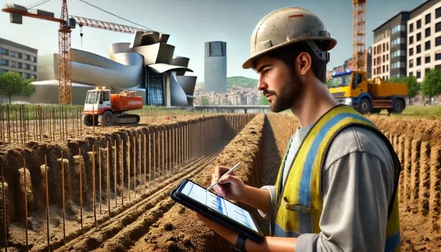
Comprehensive Geotechnical Studies
Comprehensive Geotechnical Studies
We combine field analysis and laboratory testing to provide accurate technical reports and foundation solutions.


Expert professional
Expert professional
Technicians with more than 15 years of experience in the industry. We are specialists in access to difficult locations such as sites with level changes, basements, etc.
Accredited
Accredited
Geotechnical calculations comply with the rules established by Eurocode 7, UNE-EN ISO 22476-4:2016.

Best price
Best price
Very competitive prices. The best prices for geotechnical studies in Spain. Request a quote and check it.
Speed and quality
Speed and quality
Within 7 to 10 days you will receive a signed report from a geologist. It is mandatory in order to carry out new construction or refurbishment works that involve modifications to the structure.

Work areas
We provide Geotechnical study in all localities of Erandio.
This includes the following geographic areas: Álava, Gipuzkoa, Biscay, País Vasco and surrounding areas.
We travel to your home in Erandio when it suits you best, agreeing a day and time.

Types of ground in Erandio
In Erandio, sustrates composed of sandstones, conglomerates, flysch predominate, as well as limestones, dolomites and marbles, which suggests the widespread presence of competent soils for foundations. Fine sands and silts appear only occasionally and may exhibit some locally localised compressibility, whereas man-made fill and masses of water are infrequent but should be considered in detailed studies due to their heterogeneity or possible differential settlements. The priority presence of hard materials generally provides good bearing capacities for buildings and civil engineering works.
Seismicity in the area is notable, with 94 events recorded over the last 30 years, although with a moderately low maximum magnitude (Mmax 3.7), which implies that seismic actions must be taken into account in geotechnical studies, particularly for large-scale projects. The non-clayey substrate rules out the presence of expansivity risks, favouring the durability of the foundations. The most relevant constraint in Erandio will be the precise characterisation of the supporting materials, especially in view of the possible presence of occasionally compressible or heterogeneous ground.
Fine sands and silts
11.96%Water mass
4.39%
Construction risks in Erandio
Approximate estimates. They do not replace the geotechnical study.
| Soil type | Expansivity | Settlements | Water table | Seismicity | Minimum foundation |
|---|---|---|---|---|---|
| Sandstones, Conglomerates and Flysch | None | Media | Media | Media | Direct foundation is feasible in most cases. For flysch ... |
| Limestones, Dolomites and Marbles | None | Media | Media | Downward | In general, direct foundation using braced strip footing... |
| Fine sands and silts | None | High | High | High | To avoid local punching, the foundation slab is used ext... |
| Urban anthropogenic infills | Downward | High | Media | Media | Absolute prohibition on providing structural support on ... |
| Water mass | None | Downward | High | Downward | It is not possible to found on a body of water. If the p... |
| Granite, gneiss and igneous rocks | None | Downward | Downward | Downward | Direct foundation using isolated spread footings bearing... |
| Overconsolidated clays and marls (Duras) | Media | Media | Downward | Downward | Direct foundation is viable. Piling is rarely resorted t... |
Interactive geological map · Erandio
Mapping: IGME GEODE 50k · IGME MAGNA 50 · ICGC (Catalonia)
Geological Viewer
IGME · ICGC- Click on the map to see the geology at the point.
- Use the layer buttons to switch between geological views (GEODE, MAGNA, Lithology, Hydrogeology).
- Adjust the opacity of the geological layer with the control below.
- Press the full-screen button to expand the viewer.
Geological information
Typical stratigraphic profile
Indicative subsurface cross-section in Erandio · Based on GEODE soil types
Indicative profile based on GEODE soil types and typical CTE thicknesses
Seismic risk in Erandio
Seismic risk is assessed at municipal level. These are aggregated data for the area.
- 1 M 3.7 2006
- 2 M 3.4 2000
- 3 M 3.1 2017
How do we carry out your geotechnical study?
How do we carry out your geotechnical study?
Step
Free quote
Free quote
Request a quotation for your geotechnical study. Completely free and with no obligation.
Step
We arrange a day
We arrange a day
We are looking for a day and time to carry out the field study.
Step
Conducting the geotechnical study
Conducting the geotechnical study
We’re going to move and carry out the study. In an hour or two we’ll have finished.
Step
Report submission
Report submission
Within a week we will send you the signed documents of the geotechnical study by an accredited geologist.
Also available in
Spain’s most populated cities
Useful information about Geotechnical study
In-depth articles


Entities and institutions


