Estudio geotécnico in El Pedernoso
Do you need a Geotechnical study?
Find the best price and service in El Pedernoso. Get a free quote.
More than 1000 geotechnical studies carried out
Get personalized attention
We can contact you via WhatsApp, phone, or email, whichever you prefer.
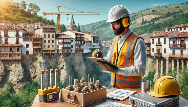
Comprehensive Geotechnical Studies
Comprehensive Geotechnical Studies
We combine field analysis and laboratory testing to provide accurate technical reports and foundation solutions.


Expert professional
Expert professional
Technicians with more than 15 years of experience in the industry. We are specialists in access to difficult locations such as sites with level changes, basements, etc.
Accredited
Accredited
Geotechnical calculations comply with the rules established by Eurocode 7, UNE-EN ISO 22476-4:2016.

Best price
Best price
Very competitive prices. The best prices for geotechnical studies in Spain. Request a quote and check it.
Speed and quality
Speed and quality
Within 7 to 10 days you will receive a signed report from a geologist. It is mandatory in order to carry out new construction or refurbishment works that involve modifications to the structure.

Work areas
We provide Geotechnical study in all locations of El Pedernoso.
This includes the following geographical areas: Province of Ciudad Real, Province of Cuenca, Province of Guadalajara, Province of Toledo, Province of Albacete, Castilla-La Mancha and surrounding areas.
We travel to your home in El Pedernoso when it suits you, agreeing a day and time.

Types of ground in El Pedernoso
In El Pedernoso, the geotechnical substrate consists mainly of limestones, dolomites and marbles, accompanied by a significant proportion of gypsum, anhydrite and salts. Since these materials are hard, compact rocks, they generally exhibit good bearing capacity, allowing direct support of the foundations provided that any altered or superficially weathered layers are ruled out. However, the presence of silica and salts implies the possibility of dissolution processes, which may compromise long-term stability if not assessed properly. Permeability is generally low, although there may be deep aquifers that must be identified to prevent hydrogeological impacts on the works.
Seismic activity in the area is moderate, with 40 recorded events over 30 years and a maximum magnitude of less than 4.5, so seismic risk does exist but is not high and does not require special measures beyond the usual regulations. It is essential to take into account the possible presence of karstification in the limestone and gypsum massif, and it is recommended that the presence of cavities be thoroughly verified before proceeding with foundation works. The non-clayey substrate eliminates the risk of expansivity. In short, the main limiting factor in El Pedernoso lies in the potential for karst and the appropriate assessment of dissolution processes involving gypsum and salts.
Gypsum, Anhydrite and Salts
39.71%
Construction risks in El Pedernoso
Approximate estimates. They do not replace the geotechnical study.
| Soil type | Expansivity | Settlements | Water table | Seismicity | Minimum foundation |
|---|---|---|---|---|---|
| Limestones, Dolomites and Marbles | None | Media | Media | Downward | In general, direct foundation using braced strip footing... |
| Gypsum, Anhydrite and Salts | Media | High | High | Media | The foundation must be designed to withstand local loss ... |
| Compact gravels and sands | None | Downward | High | Downward | Conventional shallow foundation without problems. Raft f... |
Interactive geological map · El Pedernoso
Mapping: IGME GEODE 50k · IGME MAGNA 50 · ICGC (Catalonia)
Geological Viewer
IGME · ICGC- Click on the map to see the geology at the point.
- Use the layer buttons to switch between geological views (GEODE, MAGNA, Lithology, Hydrogeology).
- Adjust the opacity of the geological layer with the control below.
- Press the full-screen button to expand the viewer.
Geological information
Typical stratigraphic profile
Indicative subsurface cross-section in El Pedernoso · Based on GEODE soil types
Indicative profile based on GEODE soil types and typical CTE thicknesses
Seismic risk in El Pedernoso
Seismic risk is assessed at municipal level. These are aggregated data for the area.
- 1 M 4.1 1998
- 2 M 4 2009
- 3 M 3.7 2001
How do we carry out your geotechnical study?
How do we carry out your geotechnical study?
Step
Free quote
Free quote
Request a quotation for your geotechnical study. Completely free and with no obligation.
Step
We arrange a day
We arrange a day
We are looking for a day and time to carry out the field study.
Step
Conducting the geotechnical study
Conducting the geotechnical study
We’re going to move and carry out the study. In an hour or two we’ll have finished.
Step
Report submission
Report submission
Within a week we will send you the signed documents of the geotechnical study by an accredited geologist.
Also available in
Spain’s most populated cities
Useful information about Geotechnical study
In-depth articles


Entities and institutions


