Estudio geotécnico in El Casar de Escalona
Do you need a Geotechnical study?
Find the best price and service in El Casar de Escalona. Get a free quote.
More than 1000 geotechnical studies carried out
Get personalized attention
We can contact you via WhatsApp, phone, or email, whichever you prefer.
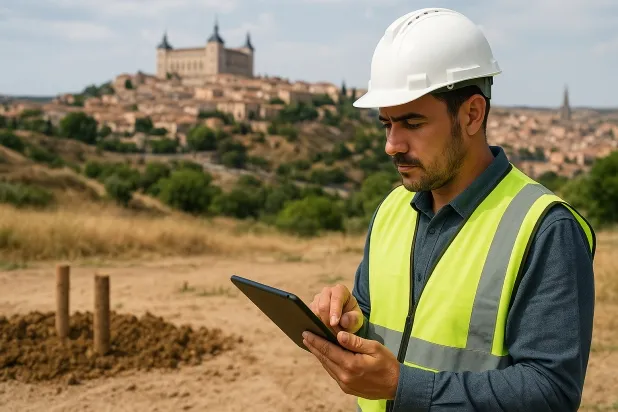
Comprehensive Geotechnical Studies
Comprehensive Geotechnical Studies
We combine field analysis and laboratory testing to provide accurate technical reports and foundation solutions.


Expert professional
Expert professional
Technicians with more than 15 years of experience in the industry. We are specialists in access to difficult locations such as sites with level changes, basements, etc.
Accredited
Accredited
Geotechnical calculations comply with the rules established by Eurocode 7, UNE-EN ISO 22476-4:2016.

Best price
Best price
Very competitive prices. The best prices for geotechnical studies in Spain. Request a quote and check it.
Speed and quality
Speed and quality
Within 7 to 10 days you will receive a signed report from a geologist. It is mandatory in order to carry out new construction or refurbishment works that involve modifications to the structure.

Work areas
We provide Geotechnical study services in all localities of El Casar de Escalona.
This includes the following geographical areas: Province of Ciudad Real, Province of Cuenca, Province of Guadalajara, Province of Toledo, Province of Albacete, Castilla-La Mancha and surrounding areas.
We come to your home in El Casar de Escalona when it suits you, agreeing a day and time.

Types of ground in El Casar de Escalona
In El Casar de Escalona, the dominant soils correspond to sandstones, conglomerates and flysch, frequently accompanied by shales and schists. These materials usually provide sufficient bearing capacity for most types of shallow foundation, although the heterogeneous presence of layers may require specific studies of stratigraphy and compaction. On the other hand, the occasional occurrence of compacted gravels and sands provides additional favourable conditions, while the proximity of water bodies indicates the existence of local aquifers, which is an aspect that should be assessed during the development of the geotechnical study.
From the point of view of seismicity, the municipality shows a high level of seismic activity, with 200 events in the last 30 years and a maximum recorded magnitude of 5.1; this means that structural design must incorporate specific seismic requirements. The expansivity conditions suggest the presence of non-expansive or dispersive clays in a non-clayey matrix, which does not completely rule out the risk of expansivity, so a plot-by-plot targeted analysis is recommended. Therefore, the main technical precaution in El Casar de Escalona lies in appropriate seismic characterisation and in ruling out the local presence of clayey soils with potential expansion.
Phyllites and schists
30.35%Water mass
3.77%
Construction risks in El Casar de Escalona
Approximate estimates. They do not replace the geotechnical study.
| Soil type | Expansivity | Settlements | Water table | Seismicity | Minimum foundation |
|---|---|---|---|---|---|
| Sandstones, Conglomerates and Flysch | None | Media | Media | Media | Direct foundation is feasible in most cases. For flysch ... |
| Phyllites and schists | None | Media | Media | Media | Shallow foundation if the stratum is competent. Strong b... |
| Water mass | None | Downward | High | Downward | It is not possible to found on a body of water. If the p... |
| Compact gravels and sands | None | Downward | High | Downward | Conventional shallow foundation without problems. Raft f... |
Interactive geological map · El Casar de Escalona
Mapping: IGME GEODE 50k · IGME MAGNA 50 · ICGC (Catalonia)
Geological Viewer
IGME · ICGC- Click on the map to see the geology at the point.
- Use the layer buttons to switch between geological views (GEODE, MAGNA, Lithology, Hydrogeology).
- Adjust the opacity of the geological layer with the control below.
- Press the full-screen button to expand the viewer.
Geological information
Typical stratigraphic profile
Indicative subsurface cross-section in El Casar de Escalona · Based on GEODE soil types
Indicative profile based on GEODE soil types and typical CTE thicknesses
Seismic risk in El Casar de Escalona
Seismic risk is assessed at municipal level. These are aggregated data for the area.
- 1 M 5.1 2007
- 2 M 4.8 2015
- 3 M 4.6 2007
How do we carry out your geotechnical study?
How do we carry out your geotechnical study?
Step
Free quote
Free quote
Request a quotation for your geotechnical study. Completely free and with no obligation.
Step
We arrange a day
We arrange a day
We are looking for a day and time to carry out the field study.
Step
Conducting the geotechnical study
Conducting the geotechnical study
We’re going to move and carry out the study. In an hour or two we’ll have finished.
Step
Report submission
Report submission
Within a week we will send you the signed documents of the geotechnical study by an accredited geologist.
Also available in
Spain’s most populated cities
Useful information about Geotechnical study
In-depth articles


Entities and institutions


