Estudio geotécnico in Coreses
Do you need a Estudio geotécnico?
Find the best price and service in Coreses. Get a free quote.
Más de 1000 estudios realizados
Get personalized attention
We can contact you via WhatsApp, phone, or email, whichever you prefer.
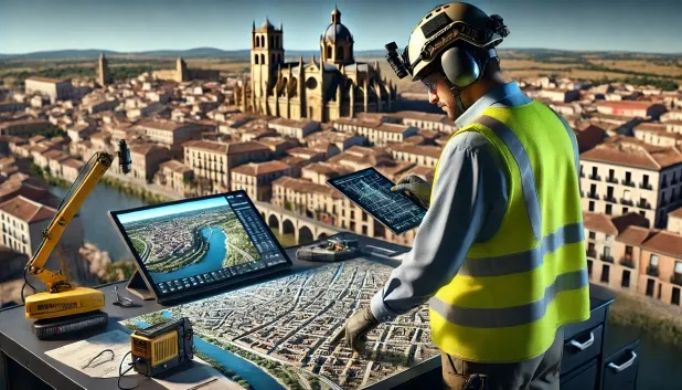
Estudios Geotécnicos Integrales
Estudios Geotécnicos Integrales
Combinamos análisis de campo y ensayos de laboratorio para ofrecer informes técnicos precisos y soluciones de cimentación.


Profesionales expertos
Profesionales expertos
Técnicos con más de 15 años de experiencia en el sector. Somos especialistas en accesos a lugares difíciles como sitios con desniveles, sótanos, etc.
Acreditados
Acreditados
Los cálculos geotécnicos cumplen con las reglas establecidas por el Eurocódigo 7, norma UNE-EN ISO 22476-4 de 2016.

Mejor precio
Mejor precio
Precios muy competitivos. Los mejores precios de estudios geotécnicos en España. Pide presupuesto y compruébalo.
Rapidez y calidad
Rapidez y calidad
En el plazo de 7 a 10 días obtendrás un informe firmado por un geólogo. Es obligatorio para hacer una construcción nueva, reformas que impliquen modificaciones de la estructura.

Work areas
We provide Estudio geotécnico in all locations of Coreses.
This includes the following geographical areas: Avila Province, Province of Burgos, Province of León, Province of Palencia, Province of Salamanca, Segovia Province, Province of Soria, Province of Valladolid, Zamora Province, Castilla y León and surrounding areas.
We travel to your home in Coreses when it suits you, agreeing a day and time.

Tipos de terreno en Coreses
In the municipality of Coreses, granular materials predominate as the substrate, mainly compact gravels and sands, accompanied by lithic formations such as sandstones, conglomerates and flysch. These soils generally offer a high bearing capacity, which usually allows the execution of shallow direct foundations, particularly in areas where the sandy and gravelly deposits exhibit an adequate degree of compaction. Slates, schists and some limestones, present in smaller proportions, may require specific checks for strength and uniformity if they are encountered during the geotechnical study.
With regard to natural hazards, the area of Coreses presents a high level of seismicity, with 200 events recorded over 30 years and a maximum magnitude of 4.5, which makes it necessary to take this factor into account in structural design and in the type of foundation recommended in the geotechnical report. There is no problem relating to karstification and, given that the substrate is mostly non-clayey, the existence of risks arising from expansive soils is ruled out. Thus, the main geotechnical constraint in Coreses is seismicity, which must be considered as a priority in building and civil engineering projects in the locality.
Gravas y Arenas compactas
25.77%Pizarras y Esquistos
17.31%Masa de agua
13.16%Calizas, Dolomías y Mármoles
10.86%Arenas finas y limos
5.32%
Construction risks in Coreses
Approximate estimates. They do not replace the geotechnical study.
| Soil type | Expansivity | Settlements | Water table | Seismicity | Minimum foundation |
|---|---|---|---|---|---|
| Gravas y Arenas compactas | Nula | Baja | Alta | Baja | Cimentación superficial convencional sin problemas. Losa... |
| Areniscas, Conglomerados y Flysch | Nula | Media | Media | Media | Cimentación directa viable en la mayoría de los casos. P... |
| Pizarras y Esquistos | Nula | Media | Media | Media | Cimentación superficial si el estrato es competente. Se ... |
| Masa de agua | Nula | Baja | Alta | Baja | No es posible cimentar sobre una masa de agua. Si la par... |
| Calizas, Dolomías y Mármoles | Nula | Media | Media | Baja | Generalmente cimentación directa mediante zapatas arrios... |
| Arenas finas y limos | Nula | Alta | Alta | Alta | Para evitar punzonamientos locales se usa profusamente l... |
| Arcillas y Margas sobreconsolidadas (Duras) | Media | Media | Baja | Baja | Cimentación directa viable. Rara vez se acude al pilotaj... |
Interactive geological map · Coreses
Mapping: IGME GEODE 50k · IGME MAGNA 50 · ICGC (Catalonia)
Geological Viewer
IGME · ICGC- Click on the map to see the geology at the point.
- Use the layer buttons to switch between geological views (GEODE, MAGNA, Lithology, Hydrogeology).
- Adjust the opacity of the geological layer with the control below.
- Press the full-screen button to expand the viewer.
Geological information
Typical stratigraphic profile
Indicative subsurface cross-section in Coreses · Based on GEODE soil types
Indicative profile based on GEODE soil types and typical CTE thicknesses
Seismic risk in Coreses
Seismic risk is assessed at municipal level. These are aggregated data for the area.
- 1 M 4.5 2003
- 2 M 4.4 1998
- 3 M 4.3 2004
¿Cómo realizamos tu estudio geotécnico?
¿Cómo realizamos tu estudio geotécnico?
Step
Presupuesto gratuito
Presupuesto gratuito
Pide un presupuesto para tu estudio geotécnico. Totalmente gratuito y sin compromiso.
Step
Concertamos un día
Concertamos un día
Buscamos un día y hora para hacer el estudio de campo.
Step
Realización del estudio
Realización del estudio
Nos desplazamos y realizamos el estudio. En una hora o dos habremos acabado.
Step
Envío del informe
Envío del informe
En una semana te enviamos los documentos del estudio firmado por un geólogo acreditado.
Also available in
Spain’s most populated cities
Useful information about Estudio geotécnico
In-depth articles


Entities and institutions


