Estudio geotécnico in Cistierna
Do you need a Geotechnical study?
Find the best price and service in Cistierna. Get a free quote.
More than 1000 geotechnical studies carried out
Get personalized attention
We can contact you via WhatsApp, phone, or email, whichever you prefer.
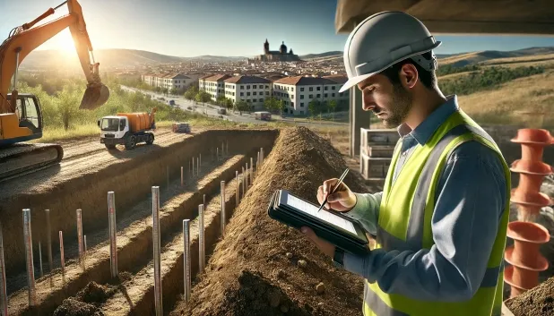
Comprehensive Geotechnical Studies
Comprehensive Geotechnical Studies
We combine field analysis and laboratory testing to provide accurate technical reports and foundation solutions.


Expert professional
Expert professional
Technicians with more than 15 years of experience in the industry. We are specialists in access to difficult locations such as sites with level changes, basements, etc.
Accredited
Accredited
Geotechnical calculations comply with the rules established by Eurocode 7, UNE-EN ISO 22476-4:2016.

Best price
Best price
Very competitive prices. The best prices for geotechnical studies in Spain. Request a quote and check it.
Speed and quality
Speed and quality
Within 7 to 10 days you will receive a signed report from a geologist. It is mandatory in order to carry out new construction or refurbishment works that involve modifications to the structure.

Work areas
We provide Geotechnical study in all locations of Cistierna.
This includes the following geographical areas: Avila Province, Province of Burgos, Province of León, Province of Palencia, Province of Salamanca, Segovia Province, Province of Soria, Province of Valladolid, Zamora Province, Castilla y León and surrounding areas.
We visit your home in Cistierna when it suits you, agreeing on a day and time.

Types of ground in Cistierna
In Cistierna, the predominant substrate is made up of sandstones, conglomerates and flysch—materials which, in general, provide an adequate bearing capacity for shallow foundations. However, the occasional presence of silt and deltaic peats poses a significant geotechnical risk, since these soft soils have low strength and excessive settlement, so they must be avoided as a support level. In addition, occasional beds of fine sands, silts, gravels and other hard rocks stabilise the ground, although layers of differing compaction and permeability may be found, which require specific characterisation at each site.
Seismicity in the area is moderate, with 11 events over 30 years and a low maximum magnitude (Mmax 2), so the seismic risk is limited. However, due to the presence of limestones and dolomites, it is mandatory to verify the risk of karstification before proceeding with any foundation, as potential cavities or dissolutions may compromise the stability of the structure. The scarcity of clayey materials rules out expansivity as the main problem; therefore, the greatest geotechnical constraint is the possible influence of karstified areas and their interaction with soft layers or silts, which require detailed investigation prior to construction.
Fine sands and silts
14.90%Phyllites and schists
5.51%Water mass
4.13%
Construction risks in Cistierna
Approximate estimates. They do not replace the geotechnical study.
| Soil type | Expansivity | Settlements | Water table | Seismicity | Minimum foundation |
|---|---|---|---|---|---|
| Sandstones, Conglomerates and Flysch | None | Media | Media | Media | Direct foundation is feasible in most cases. For flysch ... |
| Fangy clays and peats (Deltaic) | Downward | High | High | High | Inviable with any natural means. Drive tests of enormous... |
| Fine sands and silts | None | High | High | High | To avoid local punching, the foundation slab is used ext... |
| Limestones, Dolomites and Marbles | None | Media | Media | Downward | In general, direct foundation using braced strip footing... |
| Compact gravels and sands | None | Downward | High | Downward | Conventional shallow foundation without problems. Raft f... |
| Phyllites and schists | None | Media | Media | Media | Shallow foundation if the stratum is competent. Strong b... |
| Water mass | None | Downward | High | Downward | It is not possible to found on a body of water. If the p... |
Interactive geological map · Cistierna
Mapping: IGME GEODE 50k · IGME MAGNA 50 · ICGC (Catalonia)
Geological Viewer
IGME · ICGC- Click on the map to see the geology at the point.
- Use the layer buttons to switch between geological views (GEODE, MAGNA, Lithology, Hydrogeology).
- Adjust the opacity of the geological layer with the control below.
- Press the full-screen button to expand the viewer.
Geological information
Typical stratigraphic profile
Indicative subsurface cross-section in Cistierna · Based on GEODE soil types
Indicative profile based on GEODE soil types and typical CTE thicknesses
Seismic risk in Cistierna
- 1 M 2 2007
- 2 M 1.8 2007
- 3 M 1.7 2008
How do we carry out your geotechnical study?
How do we carry out your geotechnical study?
Step
Free quote
Free quote
Request a quotation for your geotechnical study. Completely free and with no obligation.
Step
We arrange a day
We arrange a day
We are looking for a day and time to carry out the field study.
Step
Conducting the geotechnical study
Conducting the geotechnical study
We’re going to move and carry out the study. In an hour or two we’ll have finished.
Step
Report submission
Report submission
Within a week we will send you the signed documents of the geotechnical study by an accredited geologist.
Also available in
Spain’s most populated cities
Useful information about Geotechnical study
In-depth articles


Entities and institutions


