Estudio geotécnico in Chantada
Do you need a Geotechnical study?
Find the best price and service in Chantada. Get a free quote.
More than 1000 geotechnical studies carried out
Get personalized attention
We can contact you via WhatsApp, phone, or email, whichever you prefer.
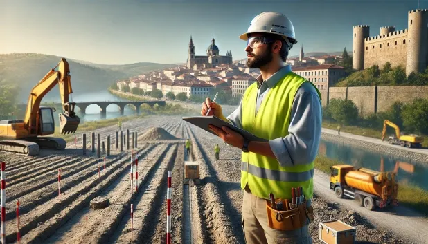
Comprehensive Geotechnical Studies
Comprehensive Geotechnical Studies
We combine field analysis and laboratory testing to provide accurate technical reports and foundation solutions.


Expert professional
Expert professional
Technicians with more than 15 years of experience in the industry. We are specialists in access to difficult locations such as sites with level changes, basements, etc.
Accredited
Accredited
Geotechnical calculations comply with the rules established by Eurocode 7, UNE-EN ISO 22476-4:2016.

Best price
Best price
Very competitive prices. The best prices for geotechnical studies in Spain. Request a quote and check it.
Speed and quality
Speed and quality
Within 7 to 10 days you will receive a signed report from a geologist. It is mandatory in order to carry out new construction or refurbishment works that involve modifications to the structure.

Work areas
We provide Geotechnical study in all localities of Chantada.
This includes the following geographical areas: Province of A Coruña, Lugo Province, Province of Ourense, Province of Pontevedra, Galicia and surrounding areas.
We travel to your home in Chantada whenever suits you, agreeing a day and time.

Types of ground in Chantada
In the municipality of Chantada, soils formed by sandstone, conglomerates and flysch predominate. These characterise the main geological landscape and typically present a sufficient bearing capacity for most shallow foundations. Shales and schists, although less frequent, may occur locally and may require additional considerations regarding stability against erosion and fracturing. The presence of groundwater is residual and does not significantly affect the choice of foundation type, but the generally low permeability of the ground should be taken into account for drainage management in the vicinity of the works.
Seismic activity in Chantada is moderate, with twelve recorded events over the last thirty years and a maximum magnitude of 2.6, indicating low seismic requirements for structural design. The non-clayey substrate rules out the risk of expansivity, allowing foundations to be designed without the need to adopt special measures against swelling. In this context, the main technical constraint is the low permeability of the ground; therefore, the management of groundwater and surface water must be carefully considered during the design and execution phase of the project.
Phyllites and schists
14.43%Water mass
2.36%
Construction risks in Chantada
Approximate estimates. They do not replace the geotechnical study.
| Soil type | Expansivity | Settlements | Water table | Seismicity | Minimum foundation |
|---|---|---|---|---|---|
| Sandstones, Conglomerates and Flysch | None | Media | Media | Media | Direct foundation is feasible in most cases. For flysch ... |
| Phyllites and schists | None | Media | Media | Media | Shallow foundation if the stratum is competent. Strong b... |
| Water mass | None | Downward | High | Downward | It is not possible to found on a body of water. If the p... |
Interactive geological map · Chantada
Mapping: IGME GEODE 50k · IGME MAGNA 50 · ICGC (Catalonia)
Geological Viewer
IGME · ICGC- Click on the map to see the geology at the point.
- Use the layer buttons to switch between geological views (GEODE, MAGNA, Lithology, Hydrogeology).
- Adjust the opacity of the geological layer with the control below.
- Press the full-screen button to expand the viewer.
Geological information
Typical stratigraphic profile
Indicative subsurface cross-section in Chantada · Based on GEODE soil types
Indicative profile based on GEODE soil types and typical CTE thicknesses
Seismic risk in Chantada
- 1 M 2.6 2000
- 2 M 2.3 2023
- 3 M 2.2 2010
How do we carry out your geotechnical study?
How do we carry out your geotechnical study?
Step
Free quote
Free quote
Request a quotation for your geotechnical study. Completely free and with no obligation.
Step
We arrange a day
We arrange a day
We are looking for a day and time to carry out the field study.
Step
Conducting the geotechnical study
Conducting the geotechnical study
We’re going to move and carry out the study. In an hour or two we’ll have finished.
Step
Report submission
Report submission
Within a week we will send you the signed documents of the geotechnical study by an accredited geologist.
Also available in
Spain’s most populated cities
Useful information about Geotechnical study
In-depth articles


Entities and institutions


