Estudio geotécnico in Argés
Do you need a Geotechnical study?
Find the best price and service in Argés. Get a free quote.
More than 1000 geotechnical studies carried out
Get personalized attention
We can contact you via WhatsApp, phone, or email, whichever you prefer.
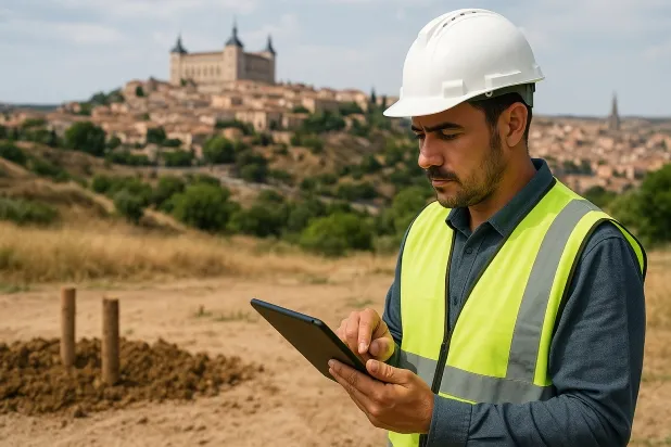
Comprehensive Geotechnical Studies
Comprehensive Geotechnical Studies
We combine field analysis and laboratory testing to provide accurate technical reports and foundation solutions.


Expert professional
Expert professional
Technicians with more than 15 years of experience in the industry. We are specialists in access to difficult locations such as sites with level changes, basements, etc.
Accredited
Accredited
Geotechnical calculations comply with the rules established by Eurocode 7, UNE-EN ISO 22476-4:2016.

Best price
Best price
Very competitive prices. The best prices for geotechnical studies in Spain. Request a quote and check it.
Speed and quality
Speed and quality
Within 7 to 10 days you will receive a signed report from a geologist. It is mandatory in order to carry out new construction or refurbishment works that involve modifications to the structure.

Work areas
We provide Geotechnical study in all towns and villages of Argés.
This includes the following geographical areas: Province of Ciudad Real, Province of Cuenca, Province of Guadalajara, Province of Toledo, Province of Albacete, Castilla-La Mancha and surrounding areas.
We come to your home in Argés when it suits you, agreeing a day and time.

Types of ground in Argés
In Argés, the dominant substrate corresponds to granite and gneiss, together with other igneous rocks, which gives the ground characteristics of high bearing capacity and low deformability. Areas with bodies of water are also frequent, so a detailed hydrological review is recommended for projects near watercourses or water sheets. The occasional presence of limestones and dolomites may induce variations in strength, although, in general, the rock formations favour shallow and deep direct foundations with good structural performance.
Seismicity in Argés is high, with more than 150 recorded events in the last few decades and an estimated maximum magnitude (Mmax) of 5.1; therefore, seismic action must form an essential part of the structural design. There are no indications of relevant karst processes. The non-clayey substrate rules out risks associated with expansivity. Thus, the main factor conditioning the choice of foundation in Argés is the correct consideration of the local seismic response and the possible influence of saturated zones or areas close to bodies of water.
Water mass
35.63%Phyllites and schists
2.21%
Construction risks in Argés
Approximate estimates. They do not replace the geotechnical study.
| Soil type | Expansivity | Settlements | Water table | Seismicity | Minimum foundation |
|---|---|---|---|---|---|
| Granite, gneiss and igneous rocks | None | Downward | Downward | Downward | Direct foundation using isolated spread footings bearing... |
| Water mass | None | Downward | High | Downward | It is not possible to found on a body of water. If the p... |
| Limestones, Dolomites and Marbles | None | Media | Media | Downward | In general, direct foundation using braced strip footing... |
| Sandstones, Conglomerates and Flysch | None | Media | Media | Media | Direct foundation is feasible in most cases. For flysch ... |
| Compact gravels and sands | None | Downward | High | Downward | Conventional shallow foundation without problems. Raft f... |
| Phyllites and schists | None | Media | Media | Media | Shallow foundation if the stratum is competent. Strong b... |
Interactive geological map · Argés
Mapping: IGME GEODE 50k · IGME MAGNA 50 · ICGC (Catalonia)
Geological Viewer
IGME · ICGC- Click on the map to see the geology at the point.
- Use the layer buttons to switch between geological views (GEODE, MAGNA, Lithology, Hydrogeology).
- Adjust the opacity of the geological layer with the control below.
- Press the full-screen button to expand the viewer.
Geological information
Typical stratigraphic profile
Indicative subsurface cross-section in Argés · Based on GEODE soil types
Indicative profile based on GEODE soil types and typical CTE thicknesses
Seismic risk in Argés
Seismic risk is assessed at municipal level. These are aggregated data for the area.
- 1 M 5.1 2007
- 2 M 4.8 2015
- 3 M 4.6 2007
How do we carry out your geotechnical study?
How do we carry out your geotechnical study?
Step
Free quote
Free quote
Request a quotation for your geotechnical study. Completely free and with no obligation.
Step
We arrange a day
We arrange a day
We are looking for a day and time to carry out the field study.
Step
Conducting the geotechnical study
Conducting the geotechnical study
We’re going to move and carry out the study. In an hour or two we’ll have finished.
Step
Report submission
Report submission
Within a week we will send you the signed documents of the geotechnical study by an accredited geologist.
Also available in
Spain’s most populated cities
Useful information about Geotechnical study
In-depth articles


Entities and institutions


