Estudio geotécnico in Alameda de la Sagra
Do you need a Geotechnical study?
Find the best price and service in Alameda de la Sagra. Get a free quote.
More than 1000 geotechnical studies carried out
Get personalized attention
We can contact you via WhatsApp, phone, or email, whichever you prefer.
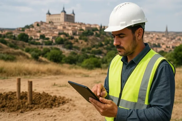
Comprehensive Geotechnical Studies
Comprehensive Geotechnical Studies
We combine field analysis and laboratory testing to provide accurate technical reports and foundation solutions.


Expert professional
Expert professional
Technicians with more than 15 years of experience in the industry. We are specialists in access to difficult locations such as sites with level changes, basements, etc.
Accredited
Accredited
Geotechnical calculations comply with the rules established by Eurocode 7, UNE-EN ISO 22476-4:2016.

Best price
Best price
Very competitive prices. The best prices for geotechnical studies in Spain. Request a quote and check it.
Speed and quality
Speed and quality
Within 7 to 10 days you will receive a signed report from a geologist. It is mandatory in order to carry out new construction or refurbishment works that involve modifications to the structure.

Work areas
We provide Geotechnical study in all towns and villages of Alameda de la Sagra.
This includes the following geographical areas: Province of Ciudad Real, Province of Cuenca, Province of Guadalajara, Province of Toledo, Province of Albacete, Castilla-La Mancha and surrounding areas.
We travel to your home in Alameda de la Sagra when it suits you, agreeing a day and time.

Types of ground in Alameda de la Sagra
In Alameda de la Sagra, large expanses of water masses and carbonate rocks such as limestones, dolomites and marbles predominate, providing favourable conditions for bearing capacity for conventional foundations. The occasional presence of sandstones, conglomerates and compact gravel and sand levels contributes to variability in the support materials, although their incidence is limited. It is relevant to note the appearance, albeit rare, of gypsum, anhydrite and salts, as well as the subordinate presence of expansive clays, factors to be assessed in the foundation design, particularly to prevent the risk of dissolution and expansivity in localised areas.
From the geotechnical point of view, seismicity is very low, with only 2 recorded events every 30 years and a maximum magnitude of 2.7, so it does not constitute a relevant constraint for structural design. However, given the dominance of carbonate rocks and the existence of karstified conditions, it is essential that every real project carries out a specific karst verification prior to the execution of foundations, due to the potential risk of instability and underground voids. The possibility of dissolution processes in the presence of gypsum and the sporadic location of expansive clays make a detailed geotechnical study the main preventive measure in the municipality.
Water mass
45.17%
Construction risks in Alameda de la Sagra
Approximate estimates. They do not replace the geotechnical study.
| Soil type | Expansivity | Settlements | Water table | Seismicity | Minimum foundation |
|---|---|---|---|---|---|
| Water mass | None | Downward | High | Downward | It is not possible to found on a body of water. If the p... |
| Limestones, Dolomites and Marbles | None | Media | Media | Downward | In general, direct foundation using braced strip footing... |
| Sandstones, Conglomerates and Flysch | None | Media | Media | Media | Direct foundation is feasible in most cases. For flysch ... |
| Compact gravels and sands | None | Downward | High | Downward | Conventional shallow foundation without problems. Raft f... |
| Gypsum, Anhydrite and Salts | Media | High | High | Media | The foundation must be designed to withstand local loss ... |
| White/Soft Expansive Clays | High | High | Downward | Downward | Inviable the pure shallow isolated footing. Either a sym... |
Interactive geological map · Alameda de la Sagra
Mapping: IGME GEODE 50k · IGME MAGNA 50 · ICGC (Catalonia)
Geological Viewer
IGME · ICGC- Click on the map to see the geology at the point.
- Use the layer buttons to switch between geological views (GEODE, MAGNA, Lithology, Hydrogeology).
- Adjust the opacity of the geological layer with the control below.
- Press the full-screen button to expand the viewer.
Geological information
Typical stratigraphic profile
Indicative subsurface cross-section in Alameda de la Sagra · Based on GEODE soil types
Indicative profile based on GEODE soil types and typical CTE thicknesses
Seismic risk in Alameda de la Sagra
- 1 M 2.7 2010
- 2 M 1.6 2007
How do we carry out your geotechnical study?
How do we carry out your geotechnical study?
Step
Free quote
Free quote
Request a quotation for your geotechnical study. Completely free and with no obligation.
Step
We arrange a day
We arrange a day
We are looking for a day and time to carry out the field study.
Step
Conducting the geotechnical study
Conducting the geotechnical study
We’re going to move and carry out the study. In an hour or two we’ll have finished.
Step
Report submission
Report submission
Within a week we will send you the signed documents of the geotechnical study by an accredited geologist.
Also available in
Spain’s most populated cities
Useful information about Geotechnical study
In-depth articles


Entities and institutions


